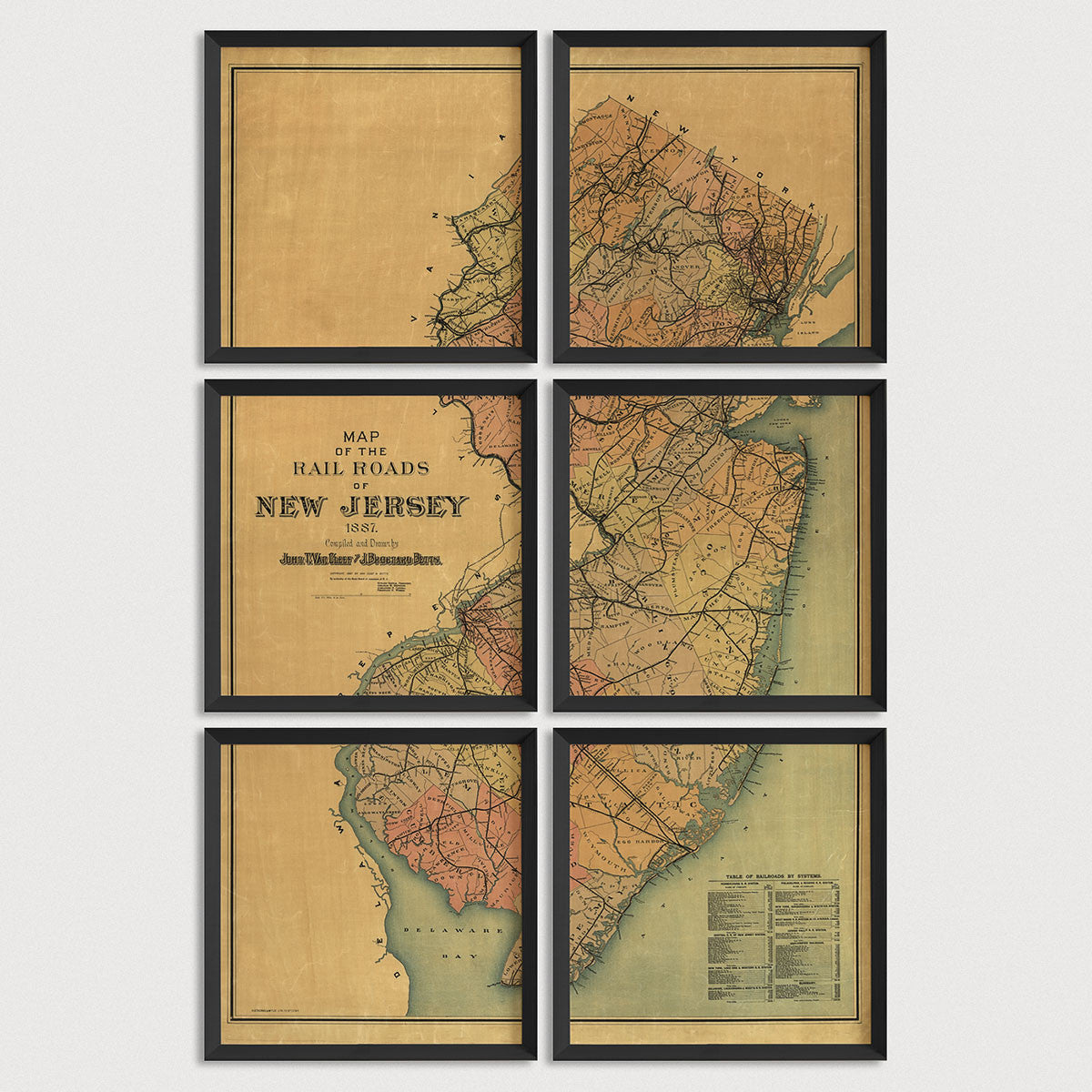
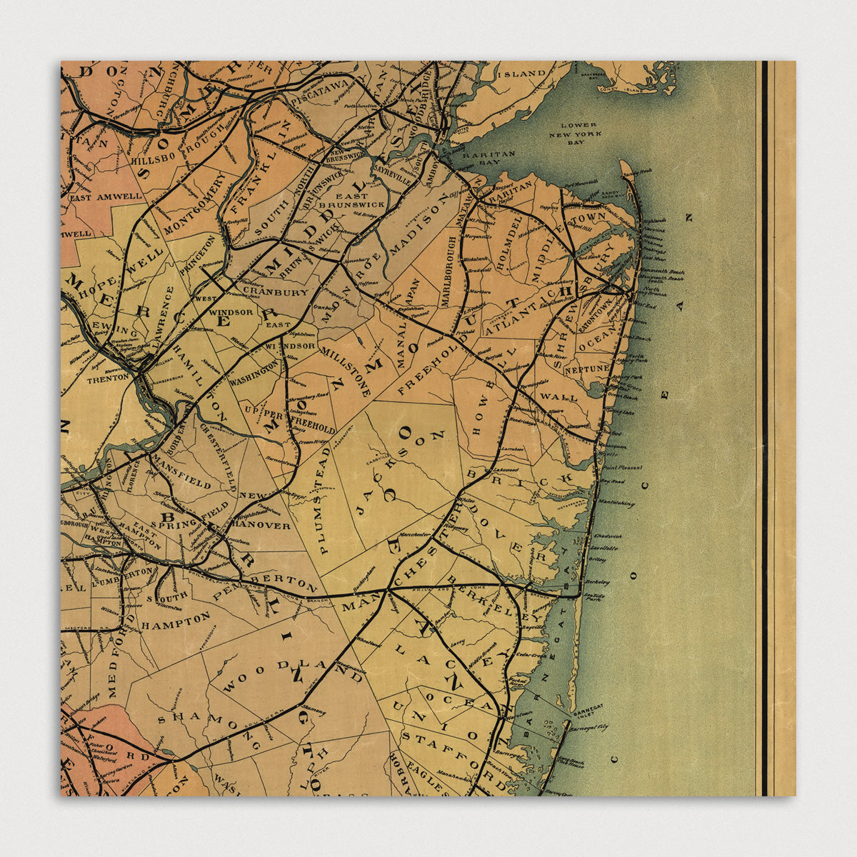
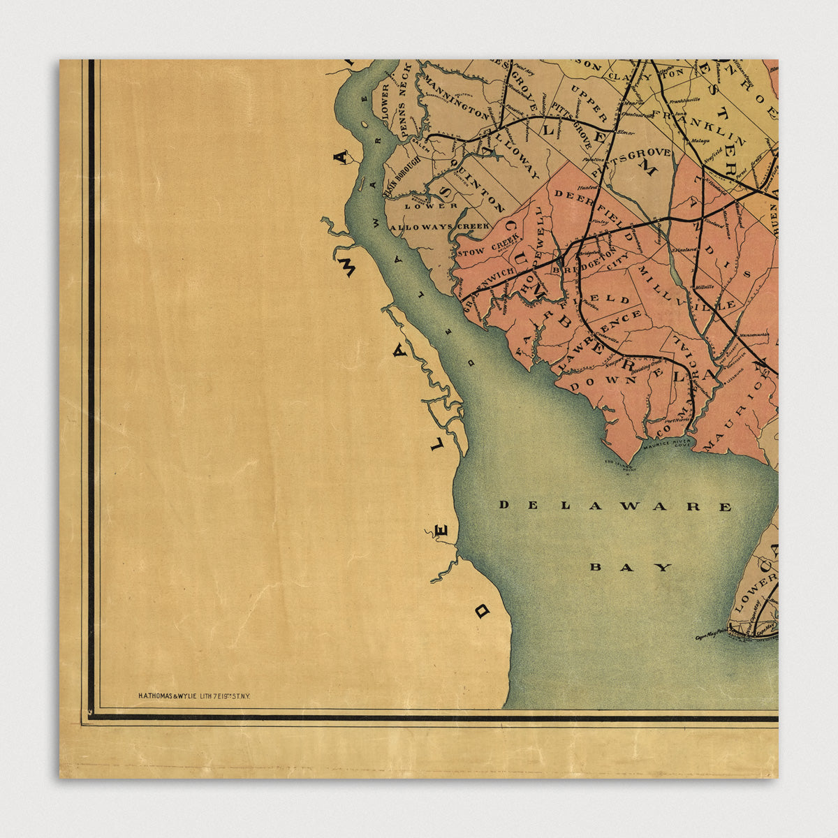
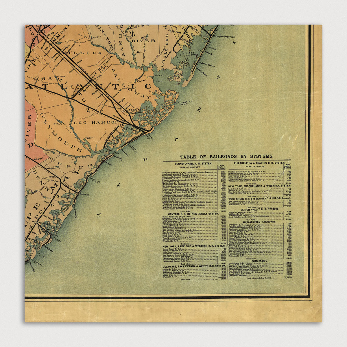
Map of the Rail Roads of New Jersey

Enlarge Image

Related subjects: Railroads

Year: 1887

Language: English

Creator: Van Cleef and Betts

Item Code: 15894

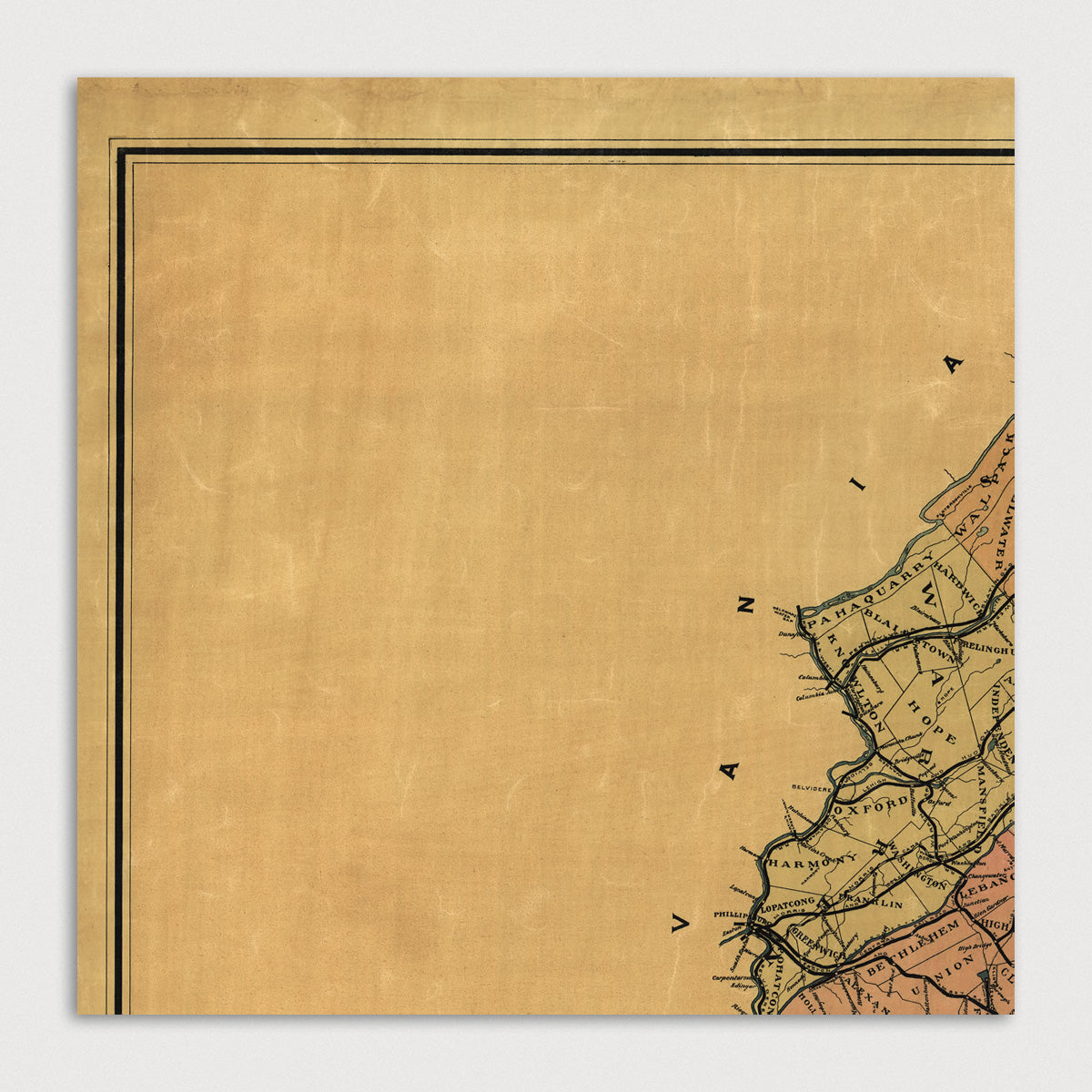
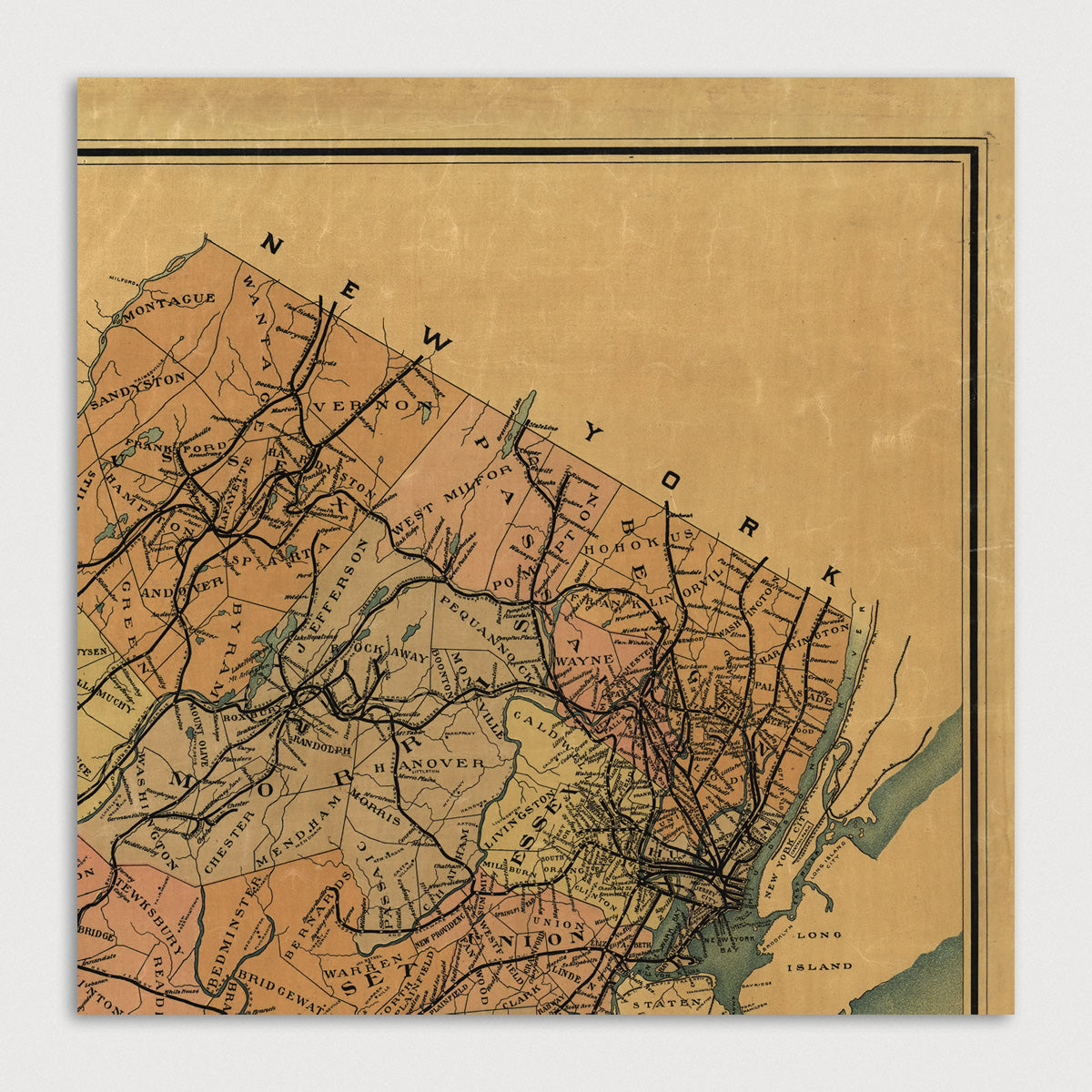
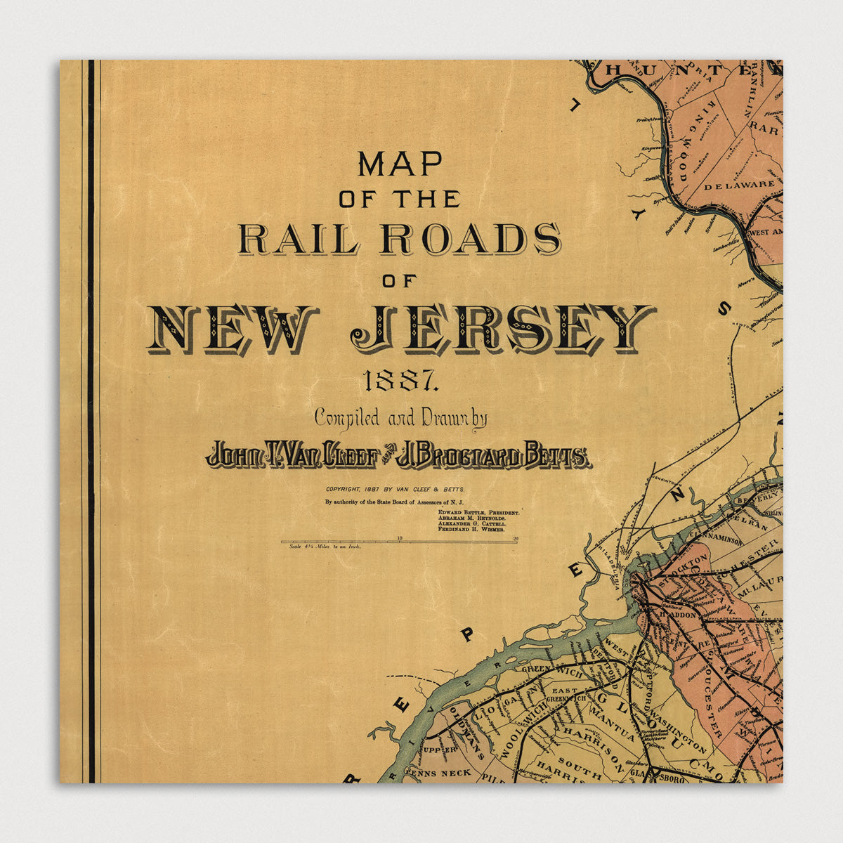
Detailed map showing all the rail lines and stops in New Jersey in the late 19th century. Inicludes a table in the lower right listing the rail systems and companies in each system, and the total length of tracks for each company.

Print Options

Sale prices are shown in red.

Smooth Fine Art:

Textured Fine Art:

Canvas:

23.0" x 15.5" - $37

23.0" x 15.5" - $41.25

23.0" x 15.5" - $46.50

32.7" x 22.0" - $63.75

32.7" x 22.0" - $71.25

41.6" x 28.0" - $91.50

41.6" x 28.0" - $101.25

50.5" x 34.0" - $126.00

50.5" x 34.0" - $138.75

Custom sizes are also available. Please contact us for more information.

About Paper Options

Smooth Fine Art: A 100% cotton, natural white paper with a luxurious, smooth surface.

Textured Fine Art: A 100% cotton, mould-made paper with a fine, toothy texture providing a very beautiful and distinctive presentation.

Canvas: A 100% cotton, double-weave canvas with a matte surface, identical in look and feel to a traditional artist's canvas.

Read more about paper options

Compare paper textures

About Borders

The print sizes listed above indicate the exact size of the printed area not including borders.

For prints up to 23" in the largest dimension we add an additional 1/2" border to each side. For prints over 23" in the largest dimension we add an additional 1" border to each side.

For all prints on Canvas, we add an additional 2" border to each side.