


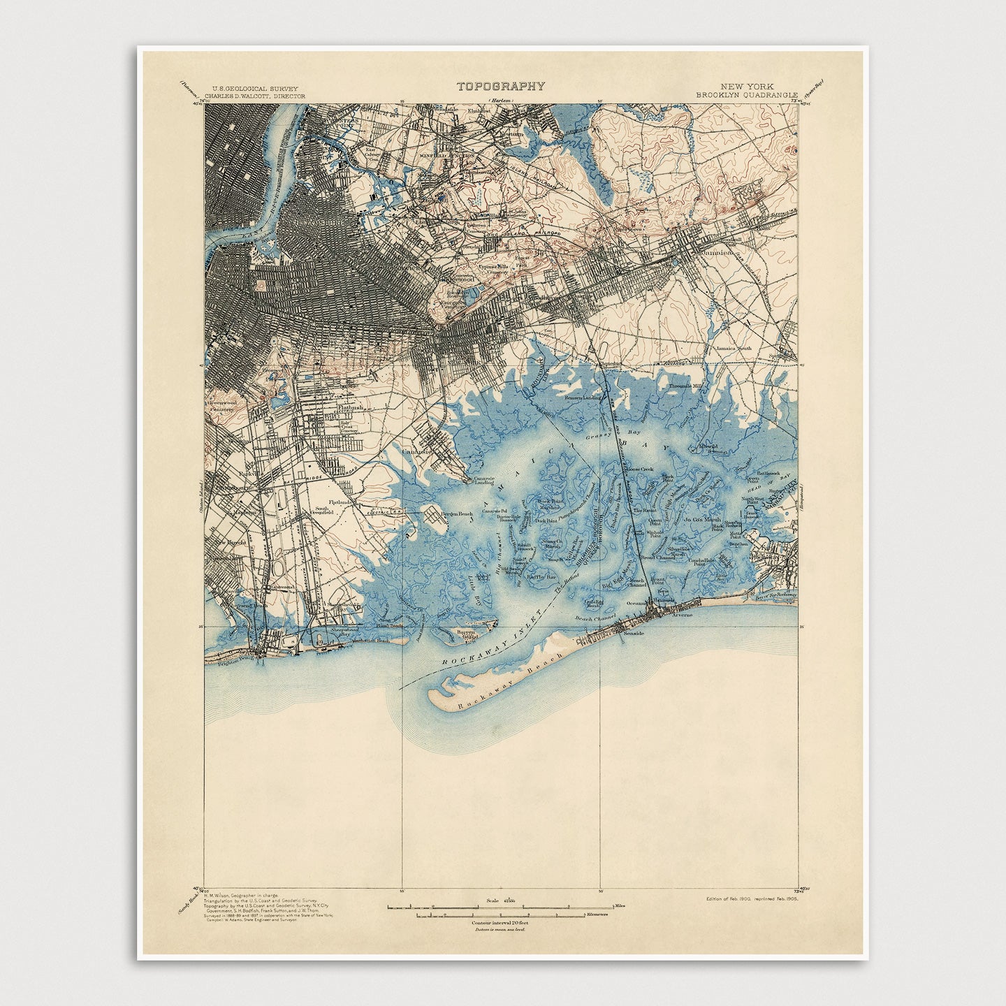
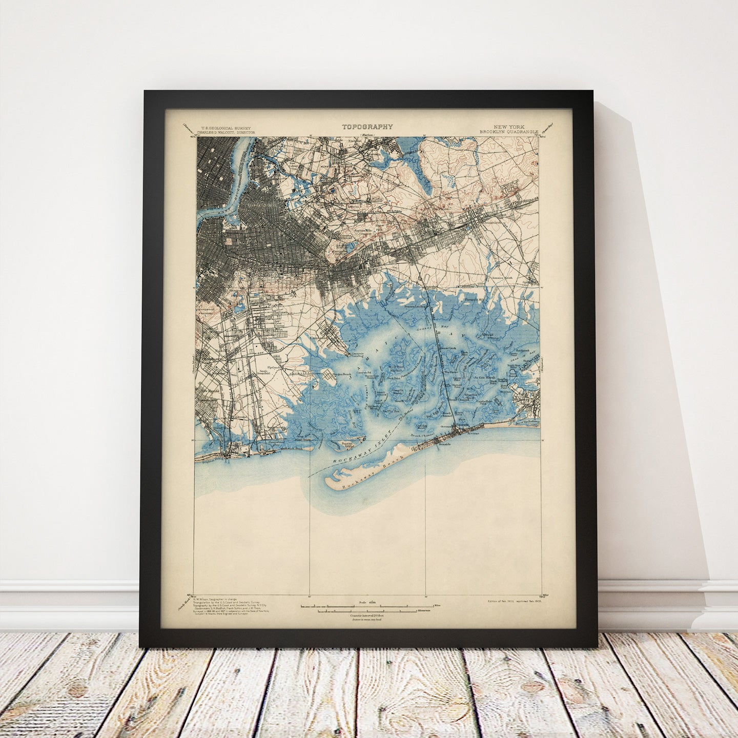
Archival print reproduction of an antique map of Brooklyn and Queens, New York City from 1900 by the US Geological Survey.
- Medium: Archival pigment inkjet print
- Paper: 100% cotton, museum-quality, acid-free, heavyweight, matte finish
- Size: 16x20 inches (includes a 1/8 inch white border)
All prints come unframed.
About This Map
Historic USGS topographic map of Brooklyn and Queens in New York City based on the 1905 reprint of the 1900 edition. The map covers most of Brooklyn and Queens, as well as part of the East River and the Lower East Side of Manhattan. Shows numerous details, including the locations of existing towns, neighborhoods, roads, buildings, railroads, islands and creeks, as well as elevation contour lines.
Author: US Geological Survey
Year: 1900