Art For Your Walls
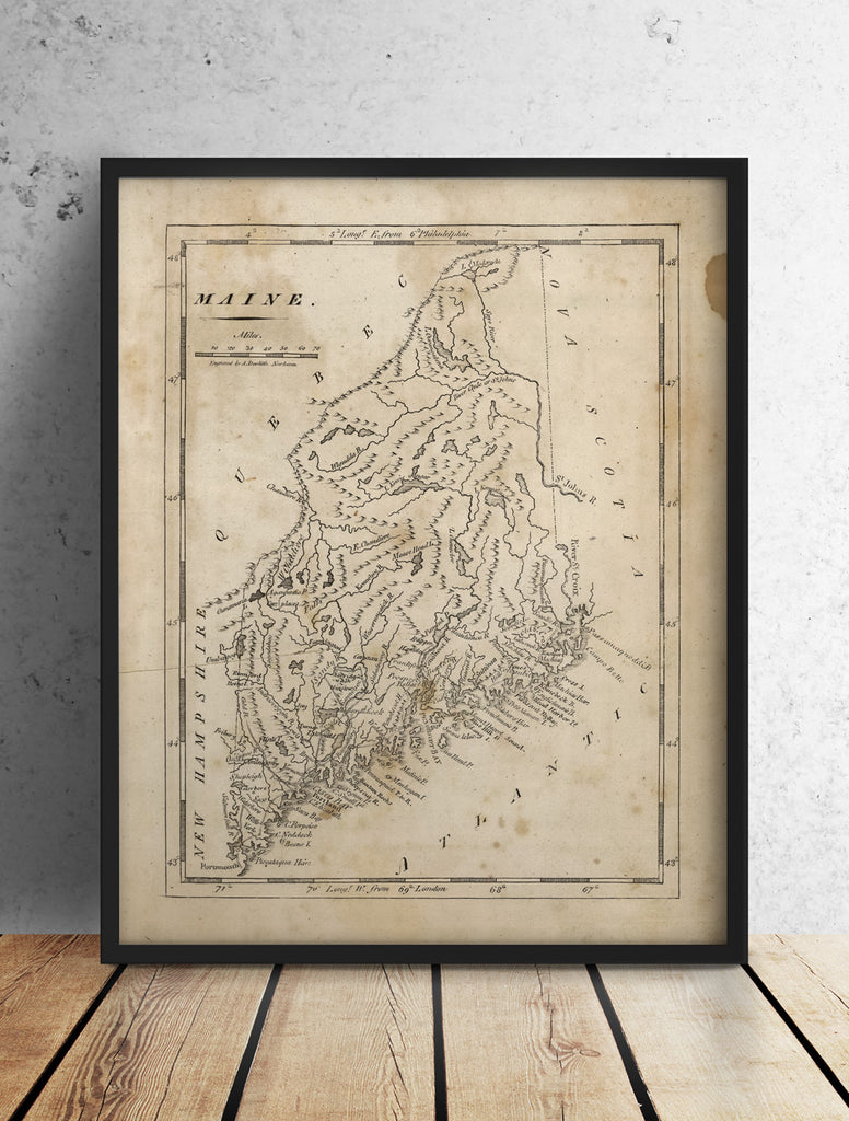
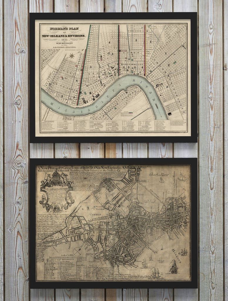
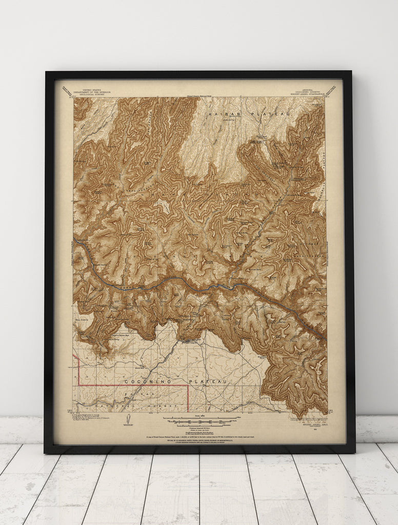
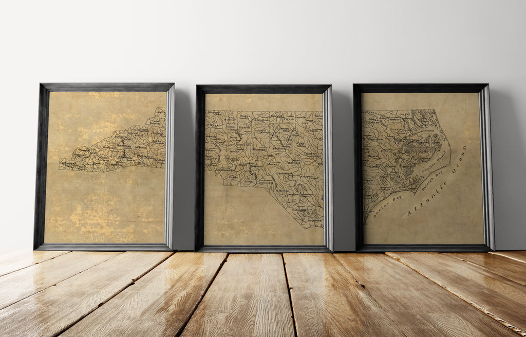
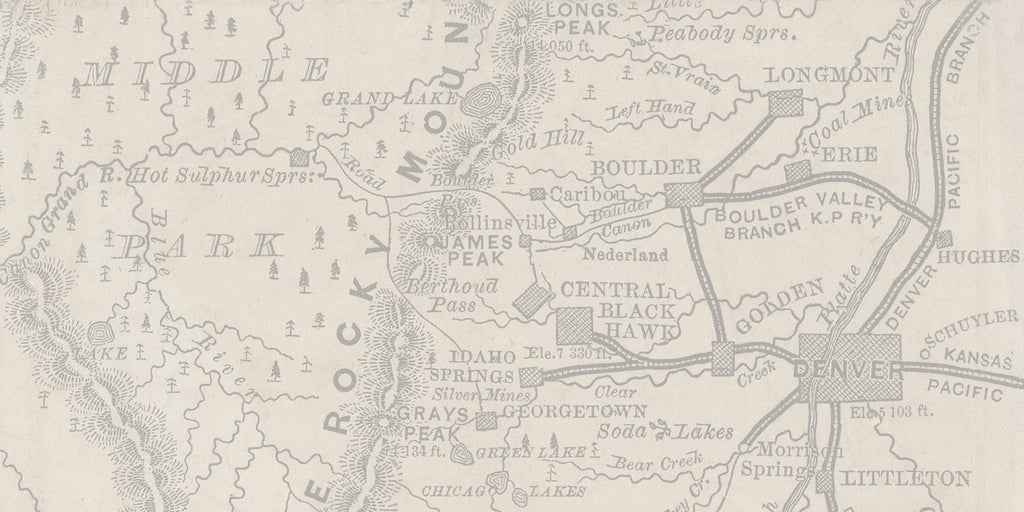
Vintage Map Art
Find print reproductions of antique maps printed on museum-quality art papers with archival pigment inks: city maps, state maps, country maps, world maps, and more!
Find print reproductions of antique maps printed on museum-quality art papers with archival pigment inks: city maps, state maps, country maps, world maps, and more!
Thanks for visiting Blue Monocle Maps! We're a specialty print shop based in Broomfield, Colorado with a focus on making fine print reproductions of antique maps, printed on 100% cotton acid-free fine art papers with archival pigment inks. We're dedicated to the art of printmaking and every item we print is made only of the highest quality materials.
LOVE this piece! Great add to my office.
Exceptional prints. Arrived quickly and very well packaged and protected. Just what we were looking for.
great condition, look beautiful, lots of compliments
It’s well packed and in good quality!
We absolutely LOVE the prints! It’s exactly what we were looking for and very fast shipping!
The quality is fantastic and the packaging is excellent
Gorgeous print- exactly what I was looking for. Great customer service, fast and perfect/safe shipping too!
Beautiful prints for my office! Excellent quality and add a really nice touch to a large wall. Prompt shipping. Easy to work with!
I got this for a Christmas present. These are beautiful in the apartment. Great quality!
This is exactly how I pictured it! What an awesome find, and it was so quick to get here so that I could give it as a gift for Valentine's Day to my partner. Thank you so much!!
Love it SO much! Such a cool piece of art for our home in NYC.
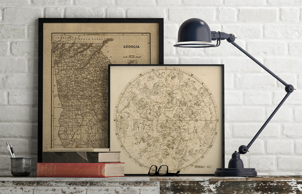
I used this Old Colorado elevation map in a condo remodel. It looks wonderful. Items were impressively and impeccably packed and shipped asap. Thank you! I cannot wait to work together again on another project.