


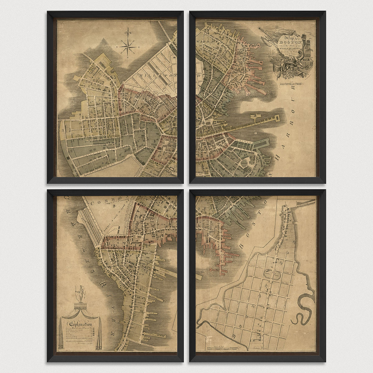
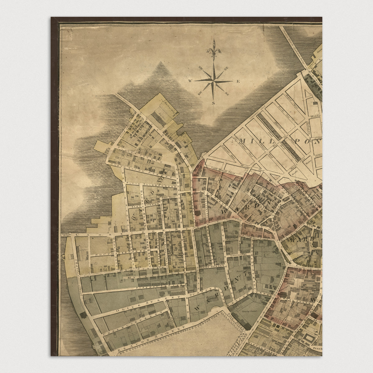
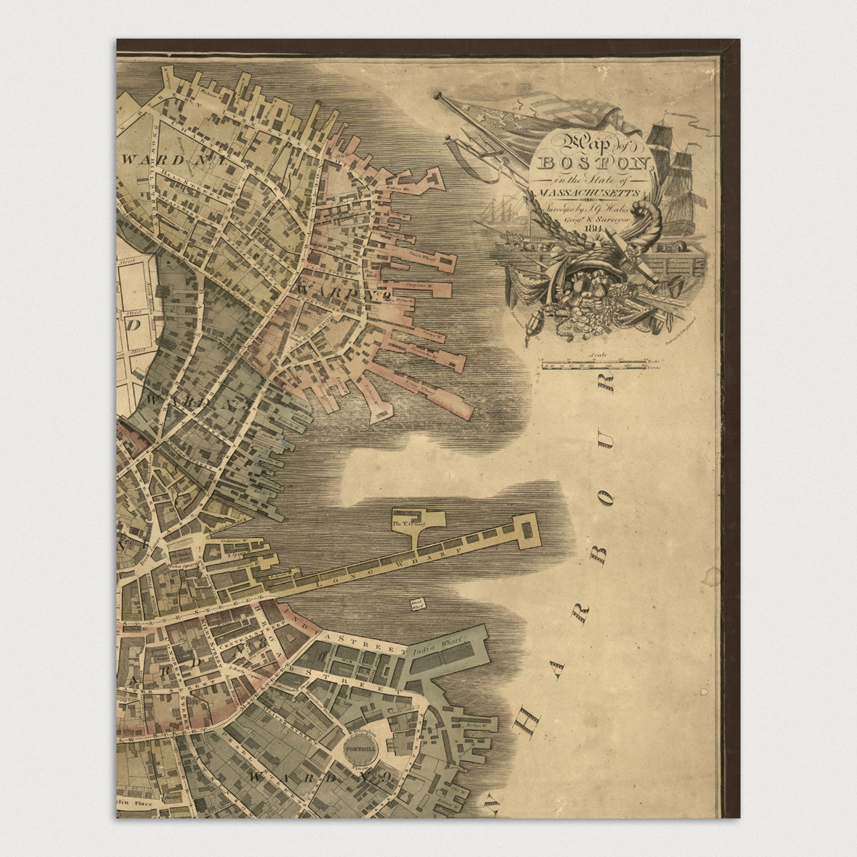
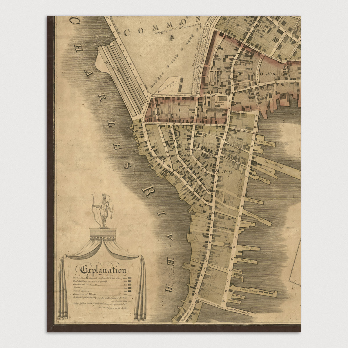
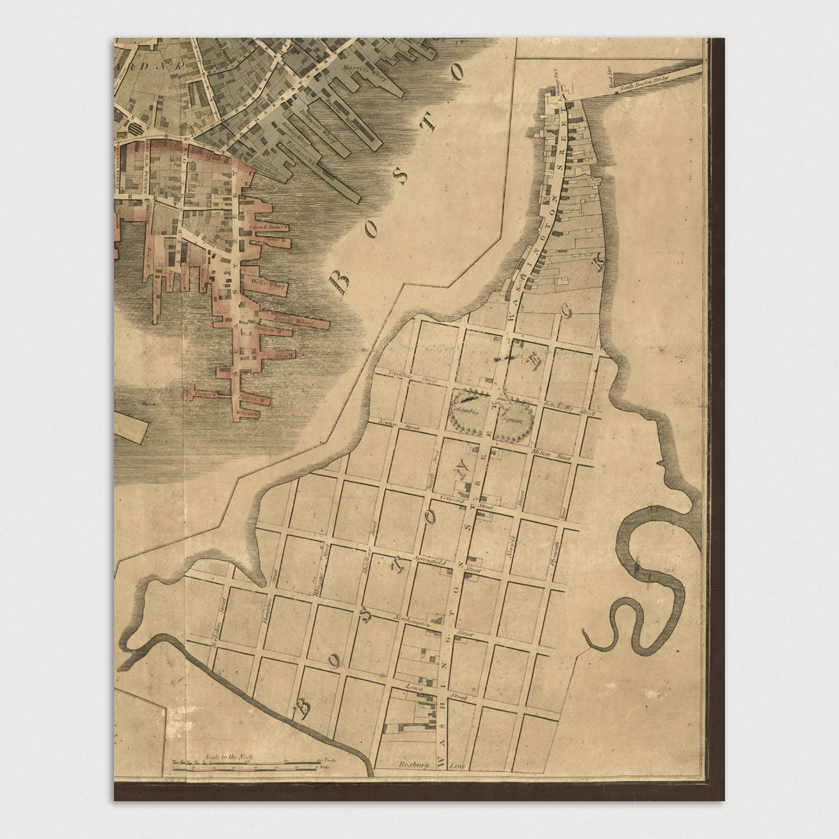
Archival print reproduction of an antique map of Boston, Massachusetts from 1814 by John Groves Hales.
- Medium: Archival pigment inkjet print
- Paper: 100% cotton, museum-quality, acid-free, heavyweight, matte finish
- Size: 11x14 or 16x20 inches per print
Sold as a set of 4 individual prints. Each print is sized to fit perfectly in a 11x14 or 16x20 inch frame without a mat.
All prints come unframed.
About This Map
Detailed early 19th century view of Boston when the city was still connected to the mainland by Boston Neck. All streets are shown, as well as buildings, places of interest, wharfs, wards, and Boston Common. An inset map in the lower right shows the area to the south of Boston Neck.
Title: Map of Boston in the State of Massachusetts
Author: John Groves Hales
Year: 1814