


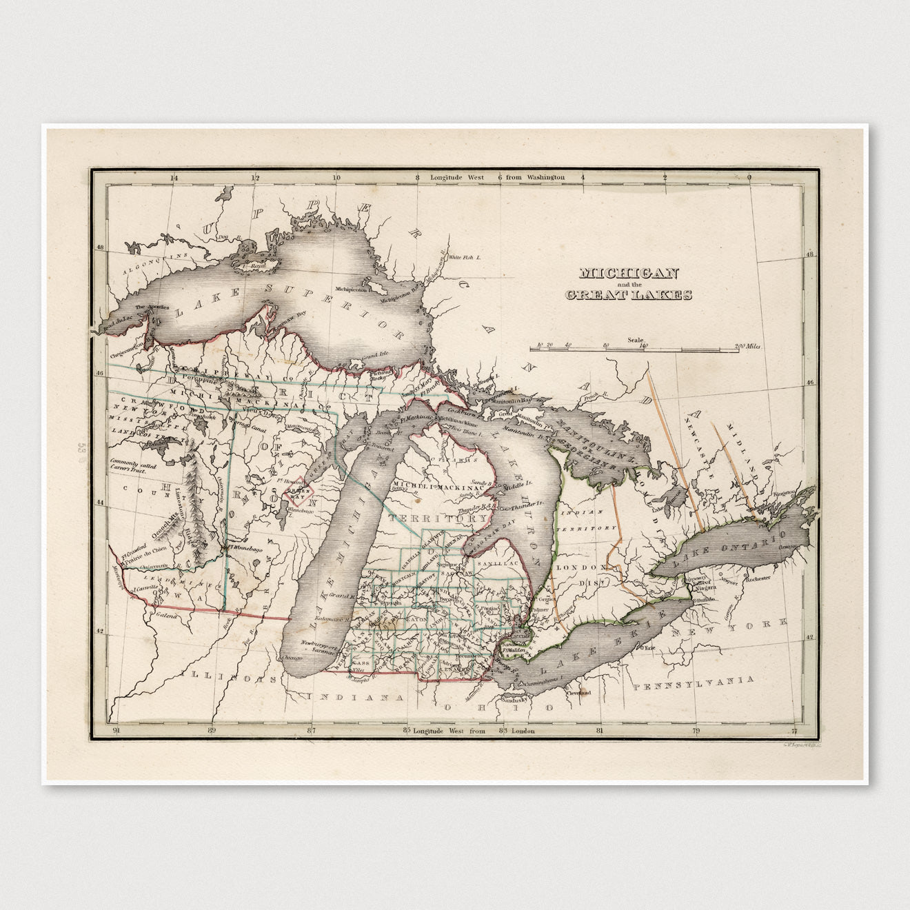
Archival print reproduction of an antique map of the Great Lakes from 1838 by Thomas G. Bradford.
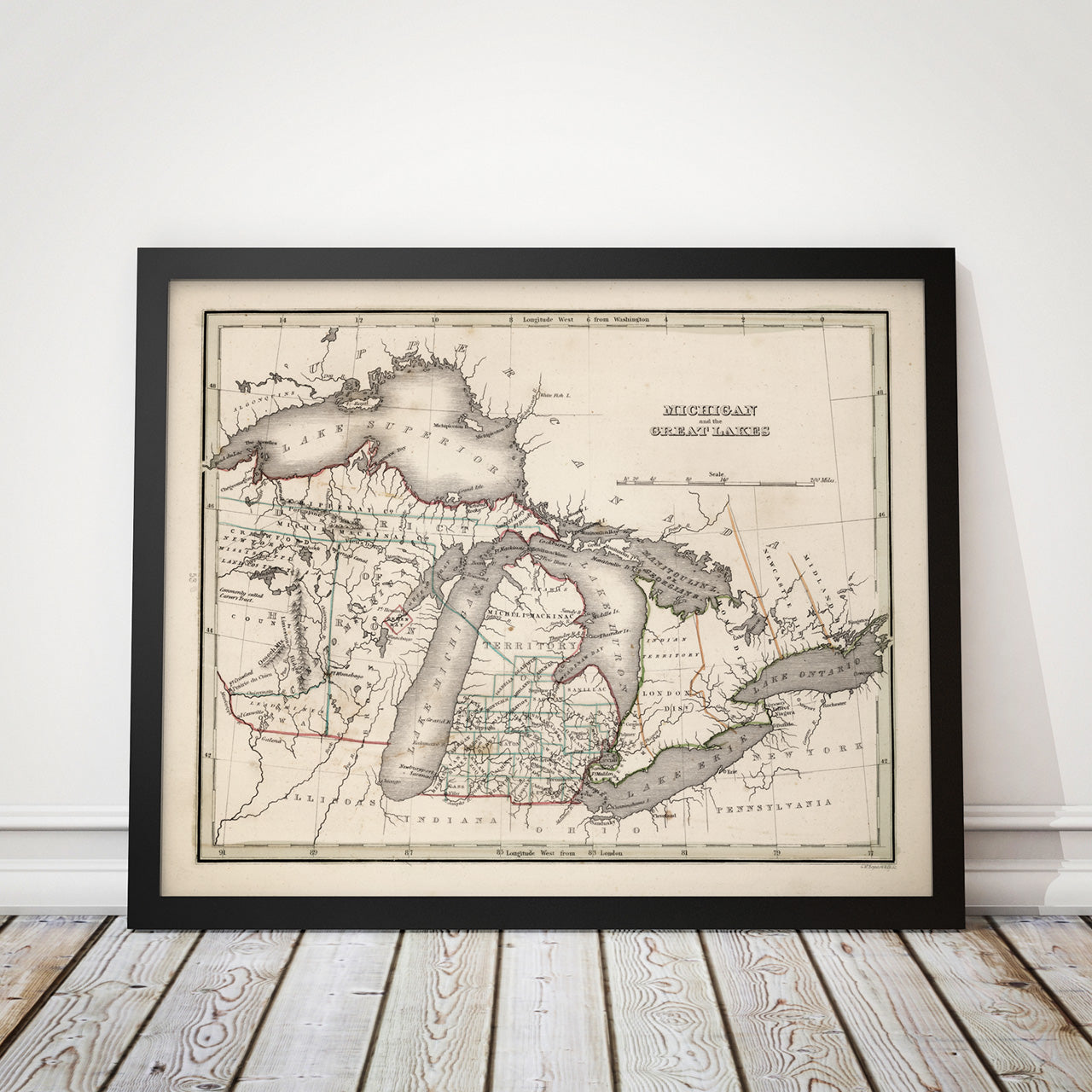
- Medium: Archival pigment inkjet print
- Paper: 100% cotton, museum-quality, acid-free, heavyweight, matte finish
- Size: 11x14 or 16x20 inches (includes a 1/8 inch white border)
All prints come unframed.
About This Map
Includes all of Wisconsin and Michigan and part of southern Ontario.
Title: Michigan and the Great Lakes
Author: Thomas G. Bradford (1802-1887)
Year: 1838