


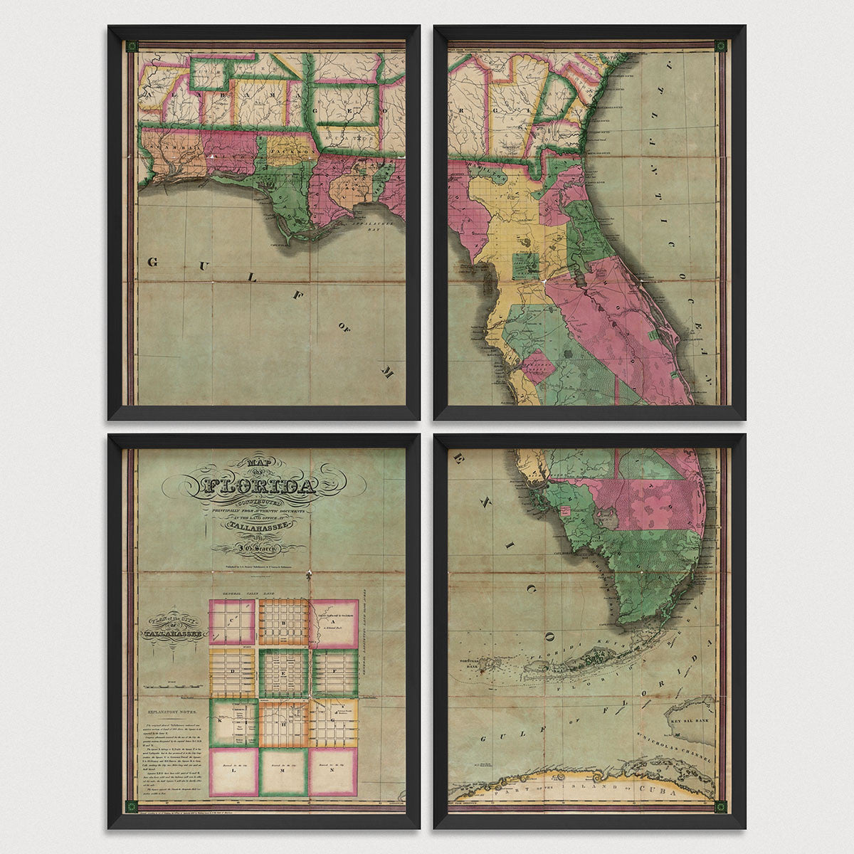
Archival print reproduction of an antique map of Florida from 1829 by I. G. Searcy.
- Medium: Archival pigment inkjet print
- Paper: 100% cotton, museum-quality, acid-free, heavyweight, matte finish
- Size: 11x14 or 16x20 inches per print
Sold as a set of 4 individual prints. Each print is sized to fit perfectly in a 11x14 or 16x20 inch frame without a mat.
All prints come unframed.
About This Map
One of the earliest maps to show the new Territory of Florida. Published just eight years after full ratification of the treaty that ceded Florida to the United States from Spain, the map shows the early boundaries of numerous counties and other land grants. Lake Okeechobee is referred to as Lake Macaco and is shown further to the south west than it actually is. The map also includes an inset of Tallahassee in the lower left with explanatory notes describing the original layout of the city. The original 1829 map was folded, and our reproduction shows fold marks with some staining along the folds.
Title: Map of Florida Constructed Principally from Authentic Documents in the Land Office at Tallahassee
Author: I. G. Searcy
Year: 1829