


Archival print reproduction of an antique map of Chicago, Illinois from 1908 by Willis J. Champion.
- Medium: Archival pigment inkjet print
- Paper: 100% cotton, museum-quality, acid-free, heavyweight, matte finish
- Size: 8x10, 11x14, or 16x20 inches per print
Sold as a set of 6 individual prints. Each print is sized to fit perfectly in a 8x10, 11x14, or 16x20 inch frame without a mat.
All prints come unframed.
About This Map
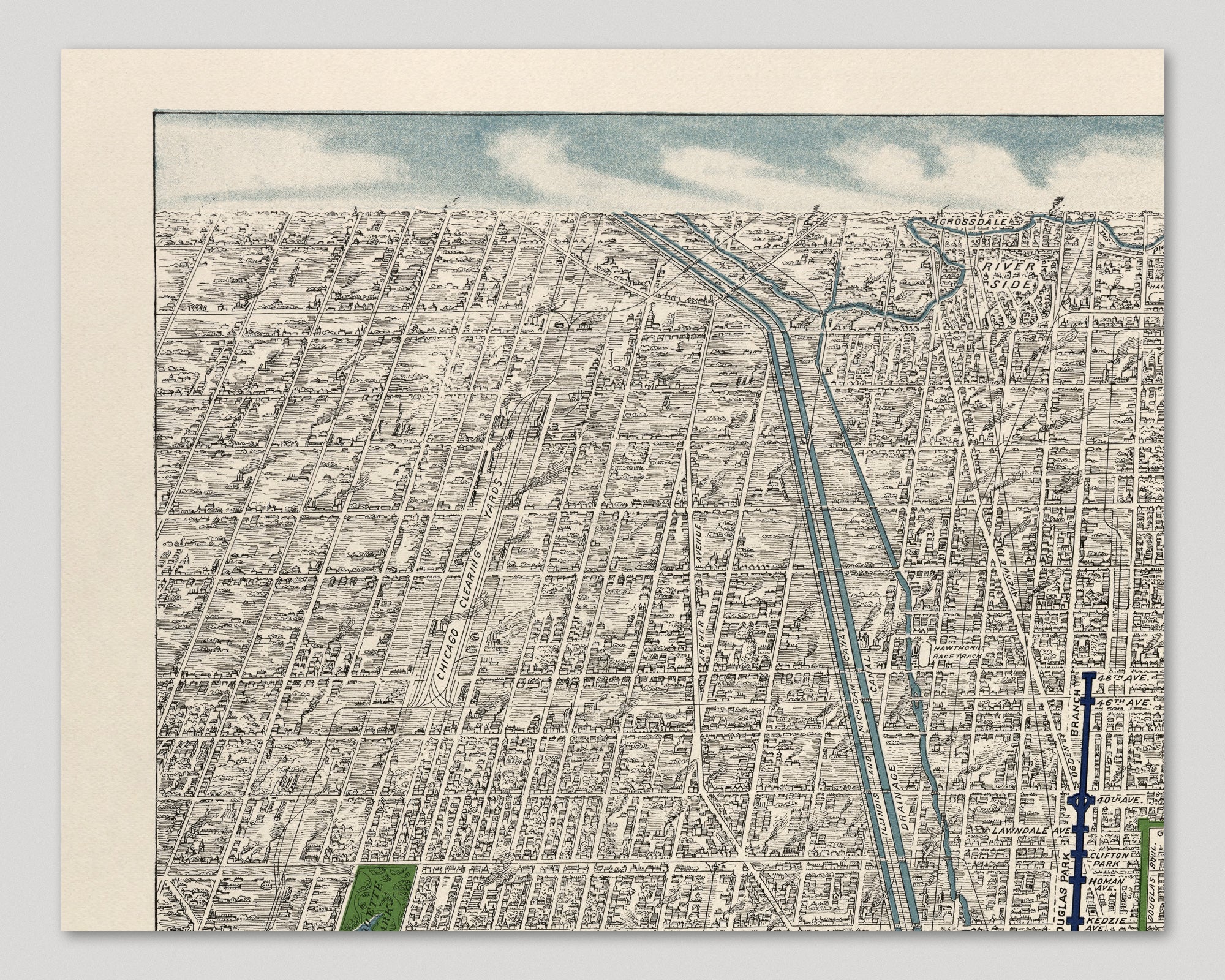
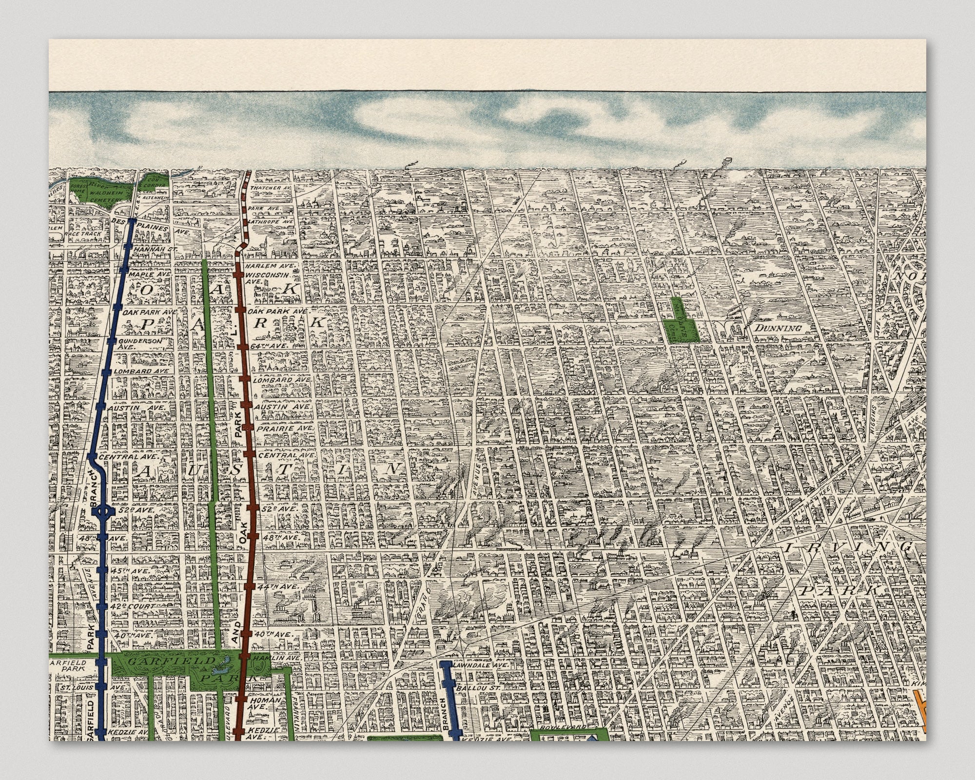
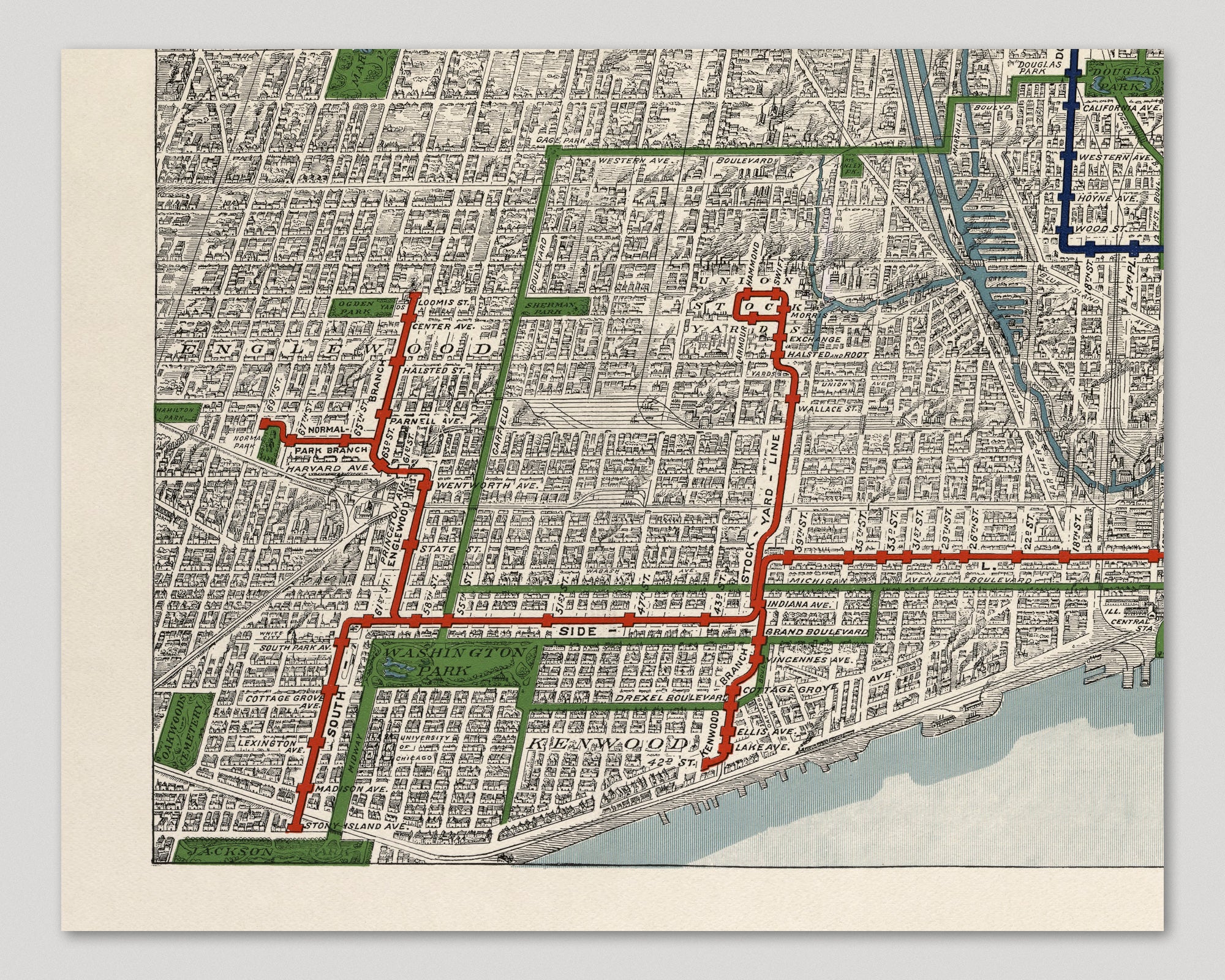
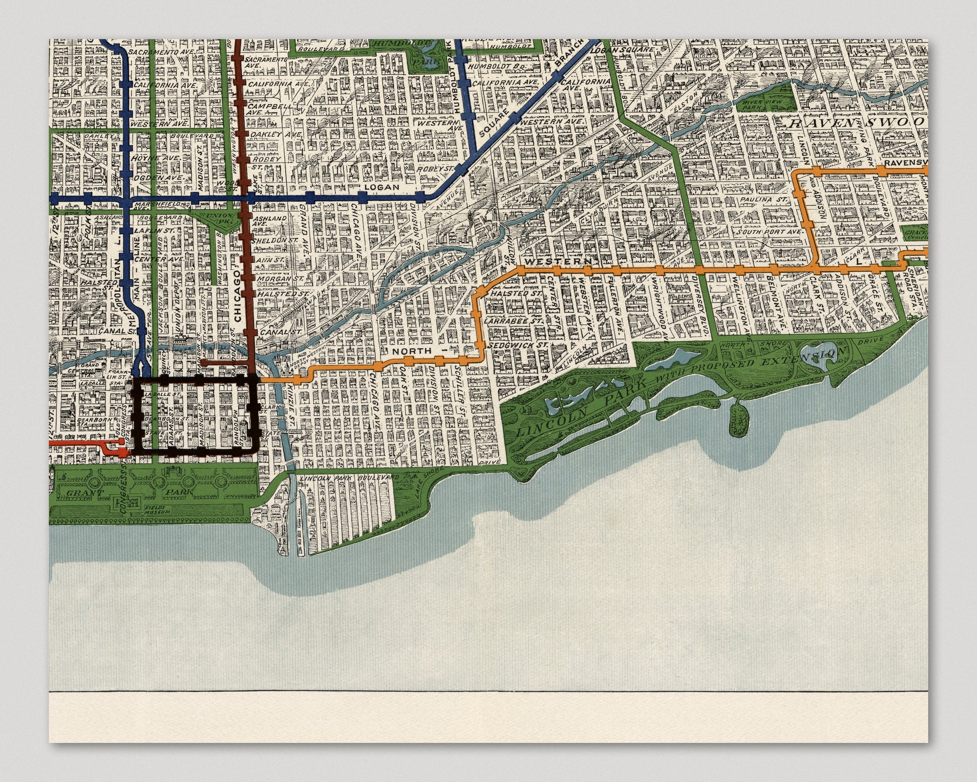
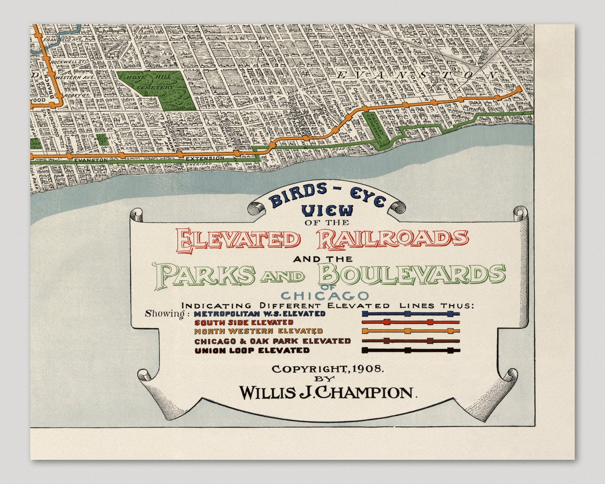
Early 20th century view of Chicago and its elevated train lines, extending from Jackson Park in the south northward to Central St. in Evanston, and from the lake westward to the Des Plaines River in Oak Park. The map shows the layout and stops of the five elevated train lines: Metropolitan W. S. Elevated, South Side Elevated, North Western Elevated, Chicago & Oak Park Elevated, and the Union Loop Elevated. The map also shows numerous parks in the city, including Jackson Park, Washington Park, Grant Park, Lincoln Park, and Garfield Park, as well as a detailed depiction of major roads, rivers, and surrounding towns.
Title: Birds-Eye View of the Elevated Railroads and the Parks and Boulevards of Chicago
Author: Willis J. Champion
Year: 1908