


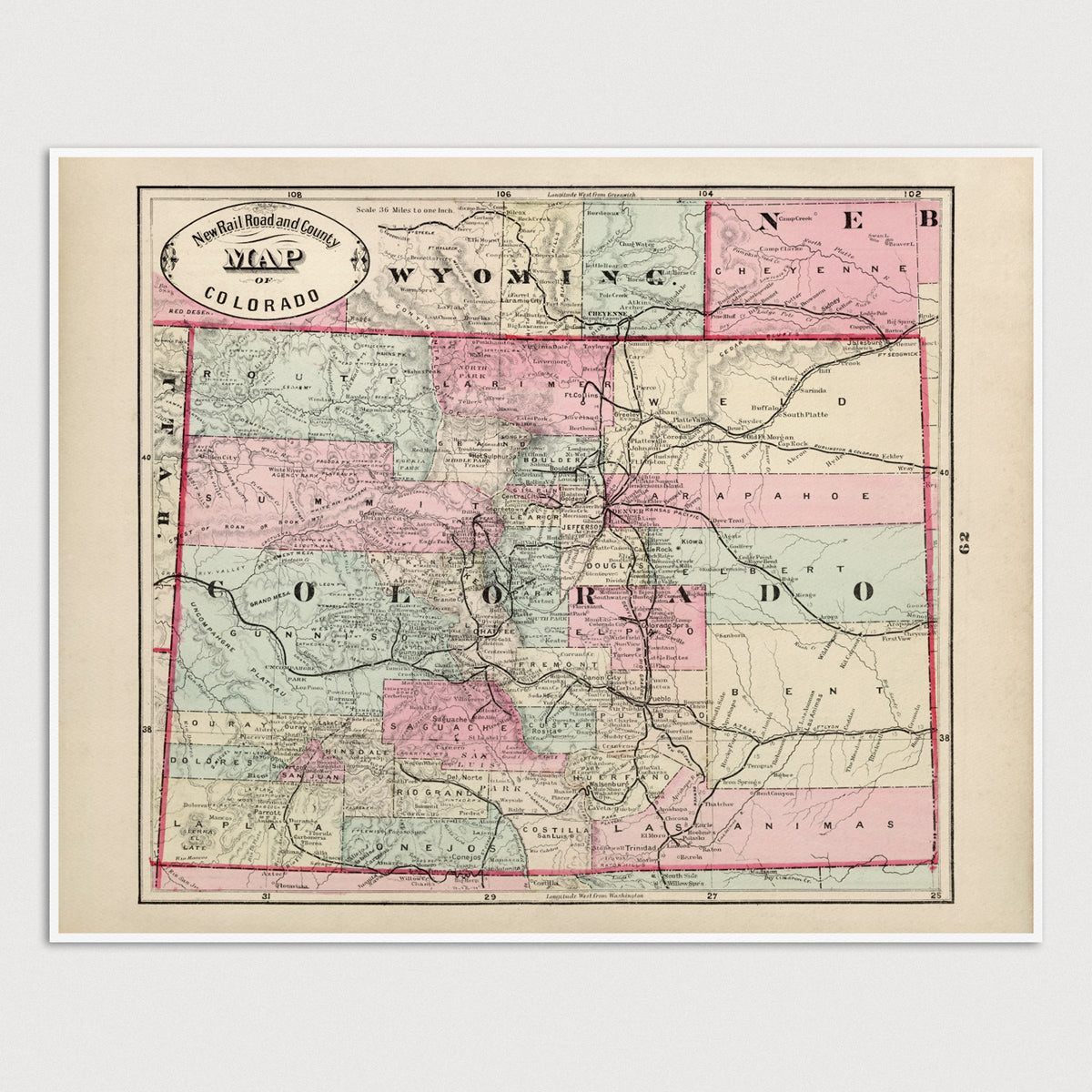
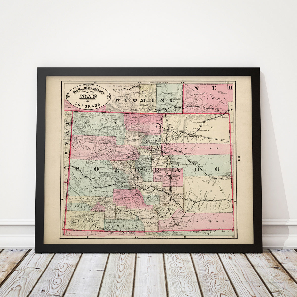
Archival print reproduction of an antique map of Colorado from 1882 by George Franklin Cram.
- Medium: Archival pigment inkjet print
- Paper: 100% cotton, museum-quality, acid-free, heavyweight, matte finish
- Size: 16x20 inches (includes a 1/8 inch white border)
All prints come unframed.
About This Map
Late 19th century view of Colorado, showing all rail lines in the state, as well as counties, cities, town, peaks and rivers.
Title: New Rail Road and County Map of Colorado
Author: George Franklin Cram (1841-1928)
Year: 1882