


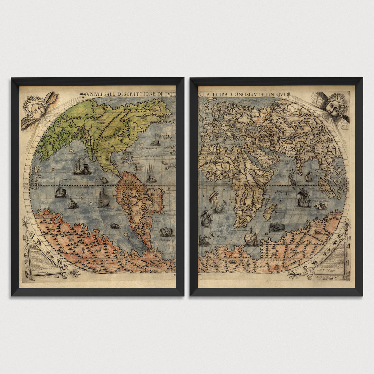
Archival print reproduction of an antique map of the world from 1565 by Paolo Forlani.
- Medium: Archival pigment inkjet print
- Paper: 100% cotton, museum-quality, acid-free, heavyweight, matte finish
- Size: 11x14 or 16x20 inches per print
Sold as a set of 2 individual prints. Each print is sized to fit perfectly in a 11x14 or 16x20 inch frame without a mat.
All prints come unframed.
About This Map
This beautifully executed map of the world is a prime example of the Italian printing style, and shows a vast land covering the southernmost region of the world. The continent at the South Pole was still only hypothesized in the 16th century, and this map shows the conception at that time was of a land far larger and extending much further north than in reality. The land at the South Pole is populated with both real and mythical creatures, including an elephant, camel, unicorn, and griffin, among others. The seas are full of sailing vessels and fanciful sea creatures. The map also shows the western part of North America connected directly to Asia.
Title: Universale Descrittione di Tutta la Terra Conosciuta Fin Qui (Universal Description of the Known World)
Author: Paolo Forlani (fl. 1560-1574)
Year: 1565
Language: Italian