
Rocky Mountain National Park & Indian Peaks Wilderness Map Prints
Some recent designs inspired by vintage cartographic styles. The four mid-century-style maps are based on National Park Service maps from the 1960s and 1970s, and the two topographic maps are based on USGS maps from the 1950s. All of the maps are up to date (as of 2026) to reflect current boundaries and features.
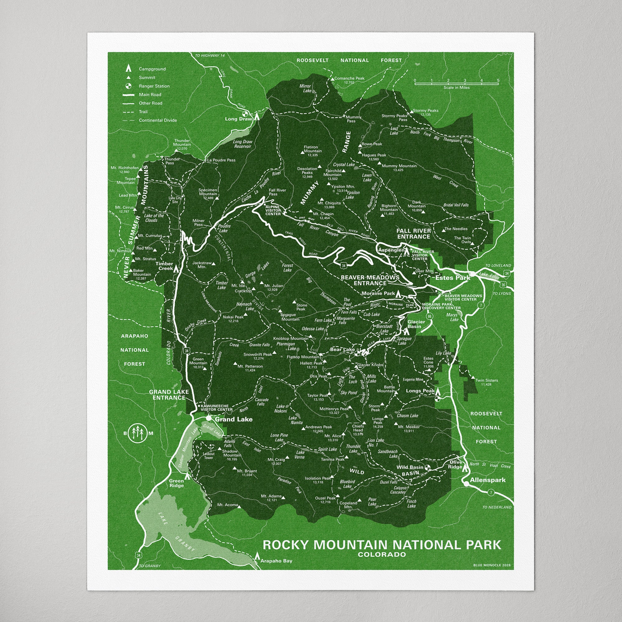
Rocky Mountain National Park
Mid-Century Style, Green (2026)
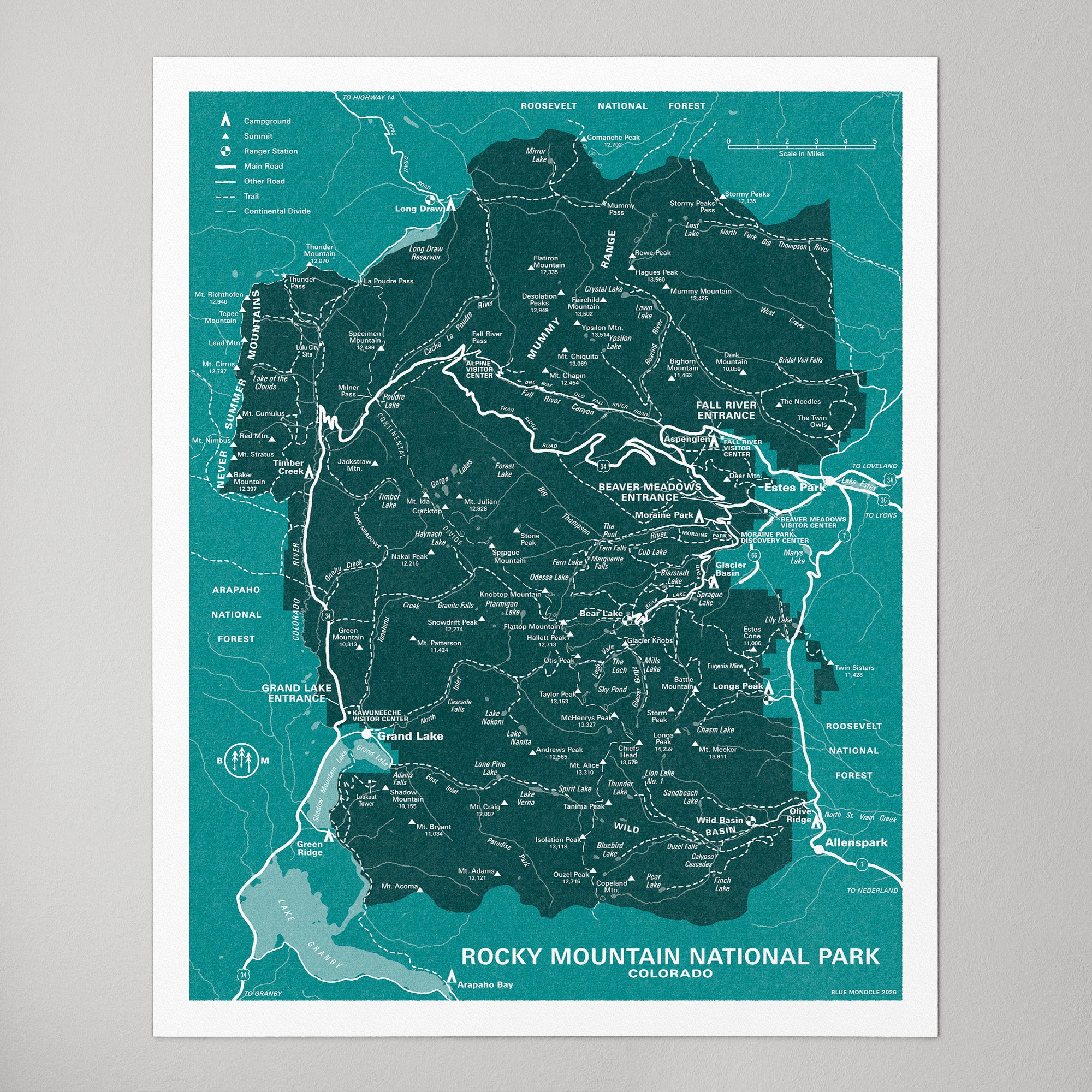
Rocky Mountain National Park
Mid-Century Style, Blue (2026)
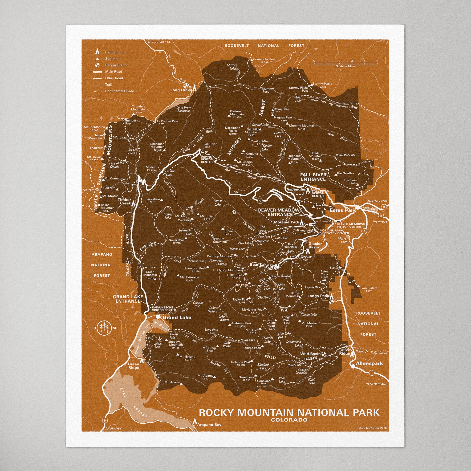
Rocky Mountain National Park
RMNP, Mid-Century Style, Orange (2026)
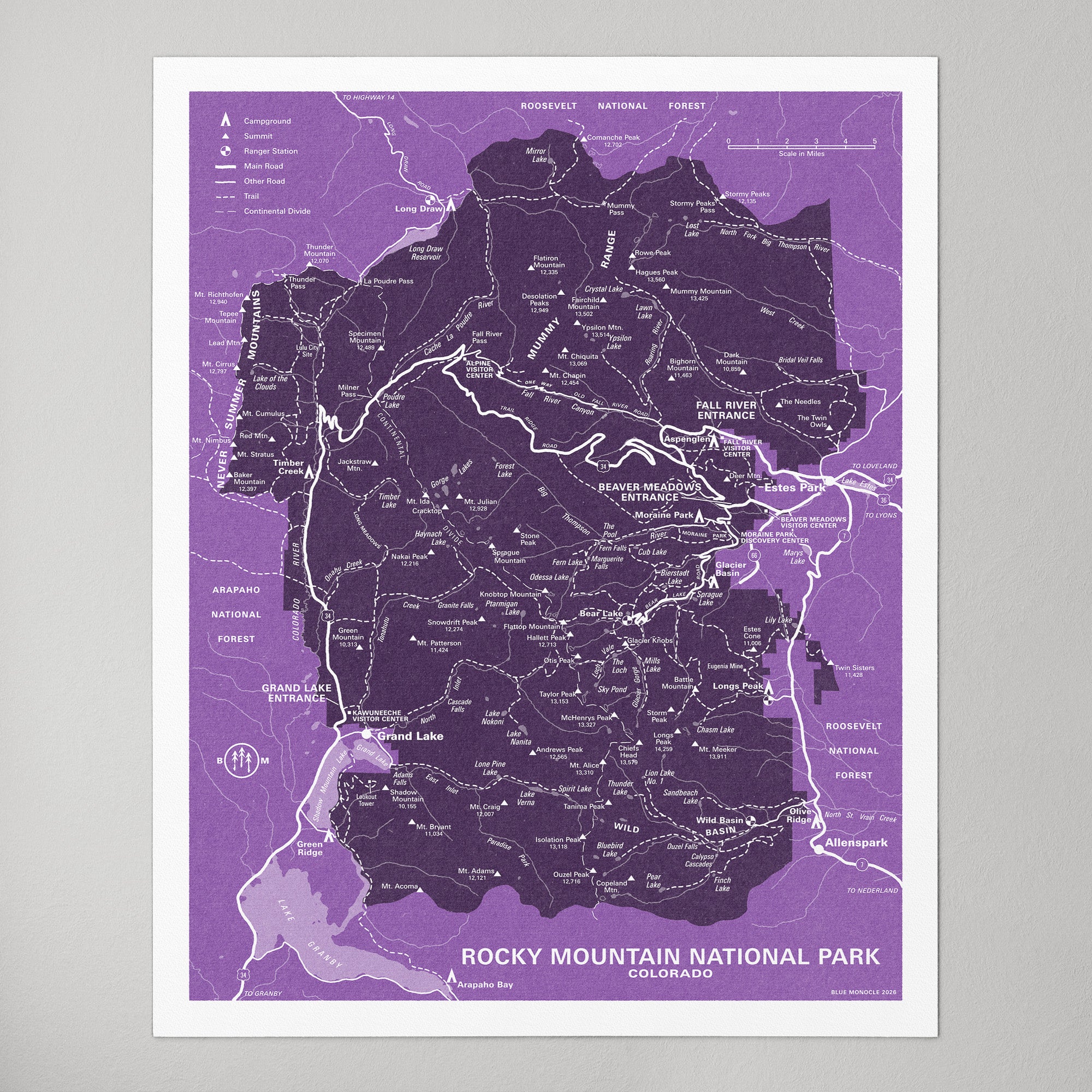
Rocky Mountain National Park
Mid-Century Style, Purple (2026)
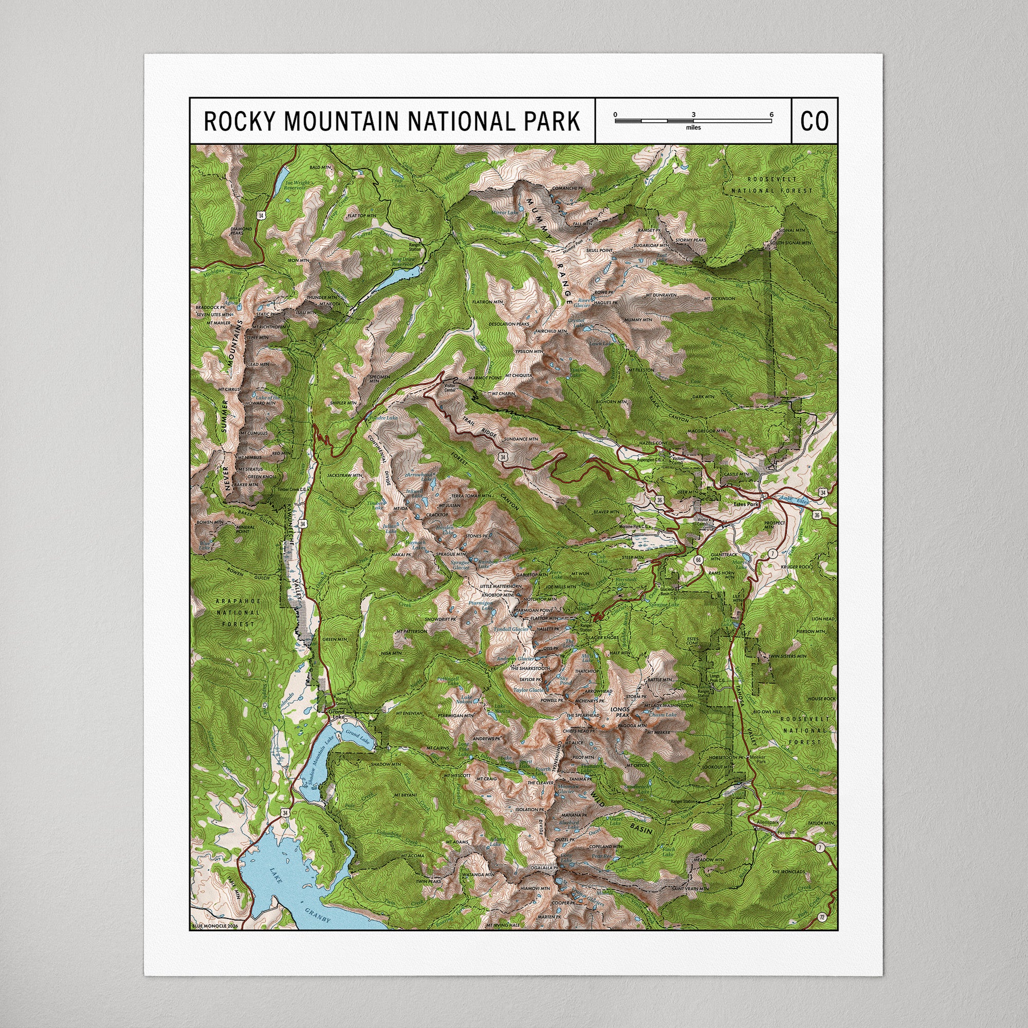
Rocky Mountain National Park
1950s USGS Style, Topographic (2026)
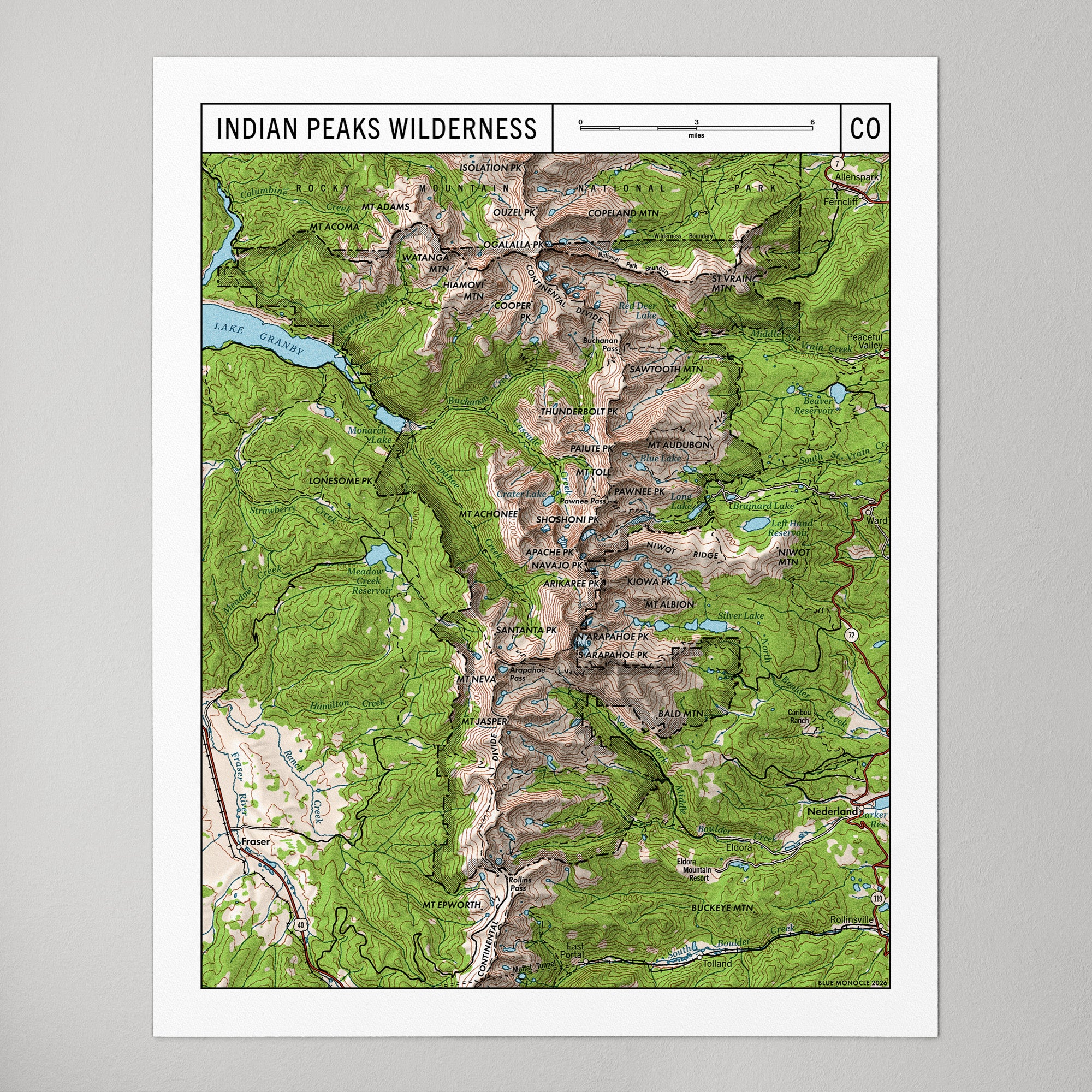
Indian Peaks Wilderness
1950s USGS Style, Topographic (2026)