


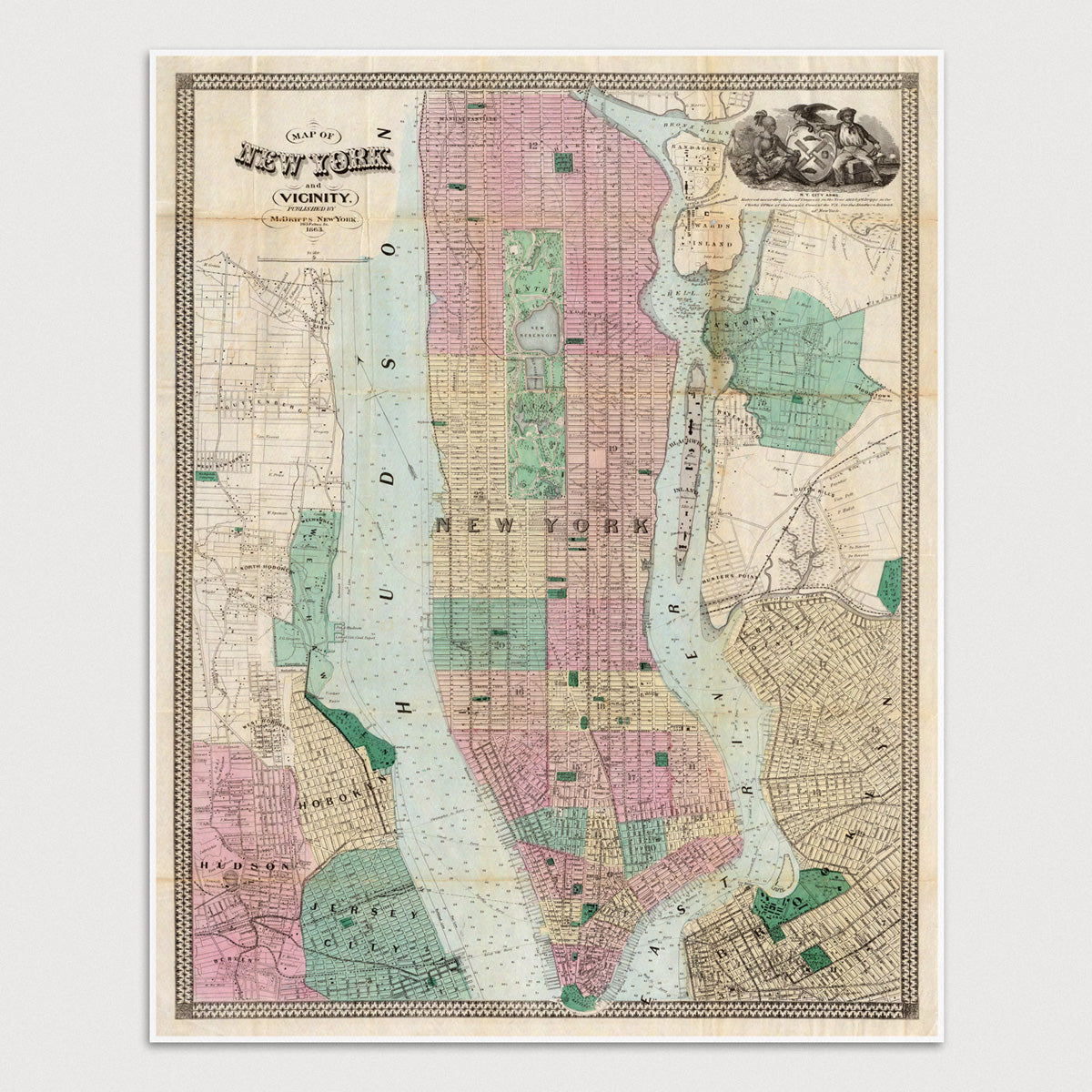
Archival print reproduction of an antique map of New York City from 1863 by Matthew Dripps.
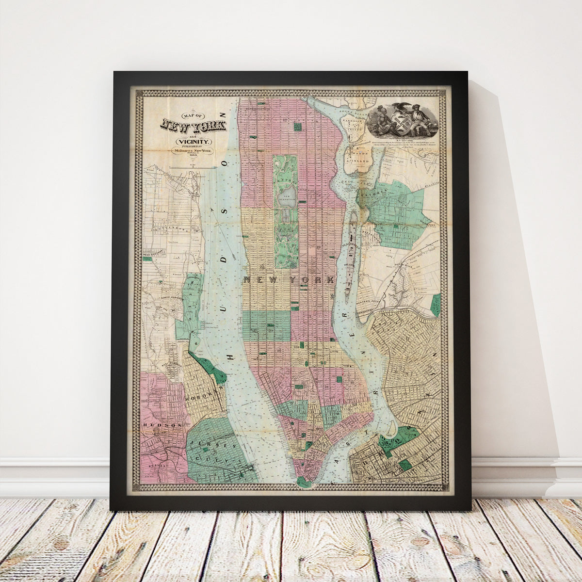
- Medium: Archival pigment inkjet print
- Paper: 100% cotton, museum-quality, acid-free, heavyweight, matte finish
- Size: 16x20 inches (includes a 1/8 inch white border)
All prints come unframed.
About This Map
Covers Manhattan north to 135th St, and includes parts of Brooklyn, Astoria (Queens), Jersey City, Hoboken, and Weehawken.
Title: Map of New York and Vicinity
Author: Matthew Dripps
Year: 1863