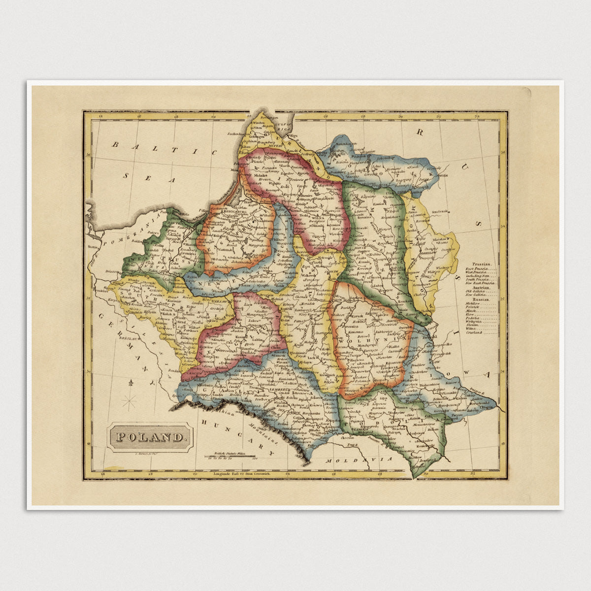
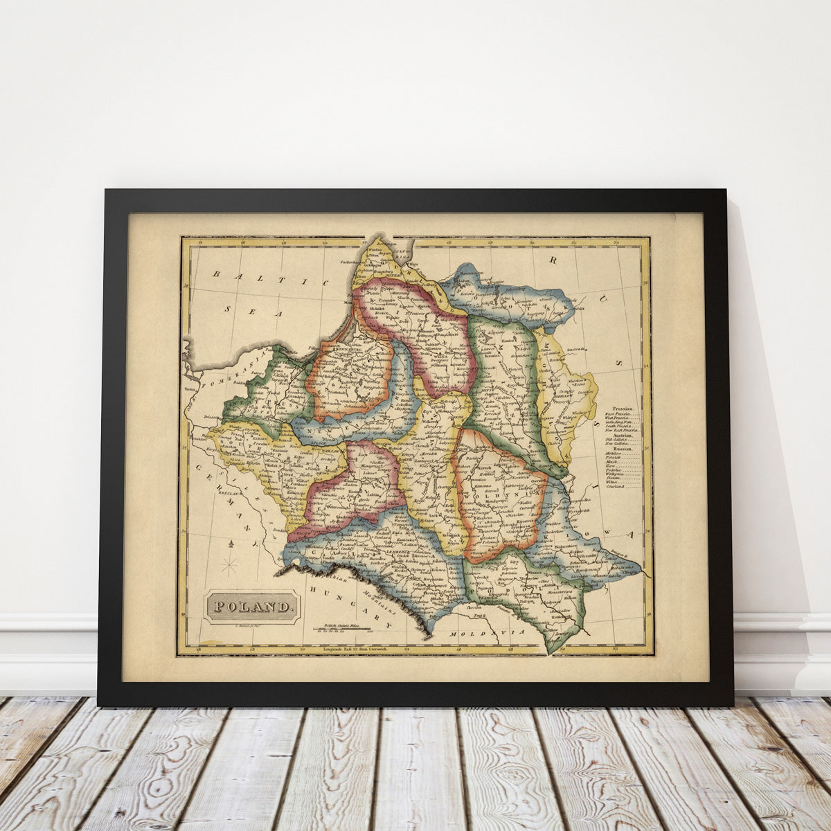
Poland Antique Map Print (c1817)
Archival print reproduction of an antique map of Poland from c1817 by Fielding Lucas.
Product Details
Medium: Archival pigment inkjet print
Paper: 100% cotton, museum-quality, acid-free, heavyweight, matte finish
Size: 11x14 or 16x20 inches (includes a 1/8 inch white border)
This print is sized to fit in a 11x14 or 16x20 inch frame without a mat, or a frame with mat opening sized for 11x14 or 16x20 inch art.
All prints come unframed.
Production Times & Shipping
We process and print all orders within 1–2 business days. Ground shipping is free within the US; ground shipping time is 1–5 business days. Shipping upgrades are also available. Read more about shipping.


