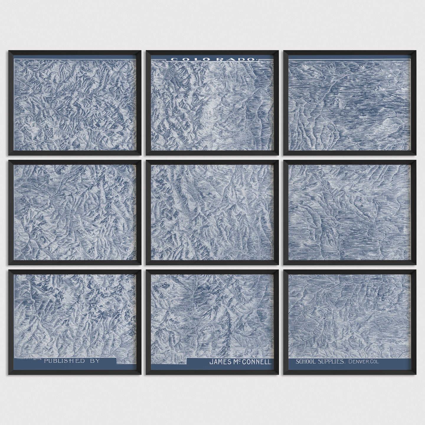
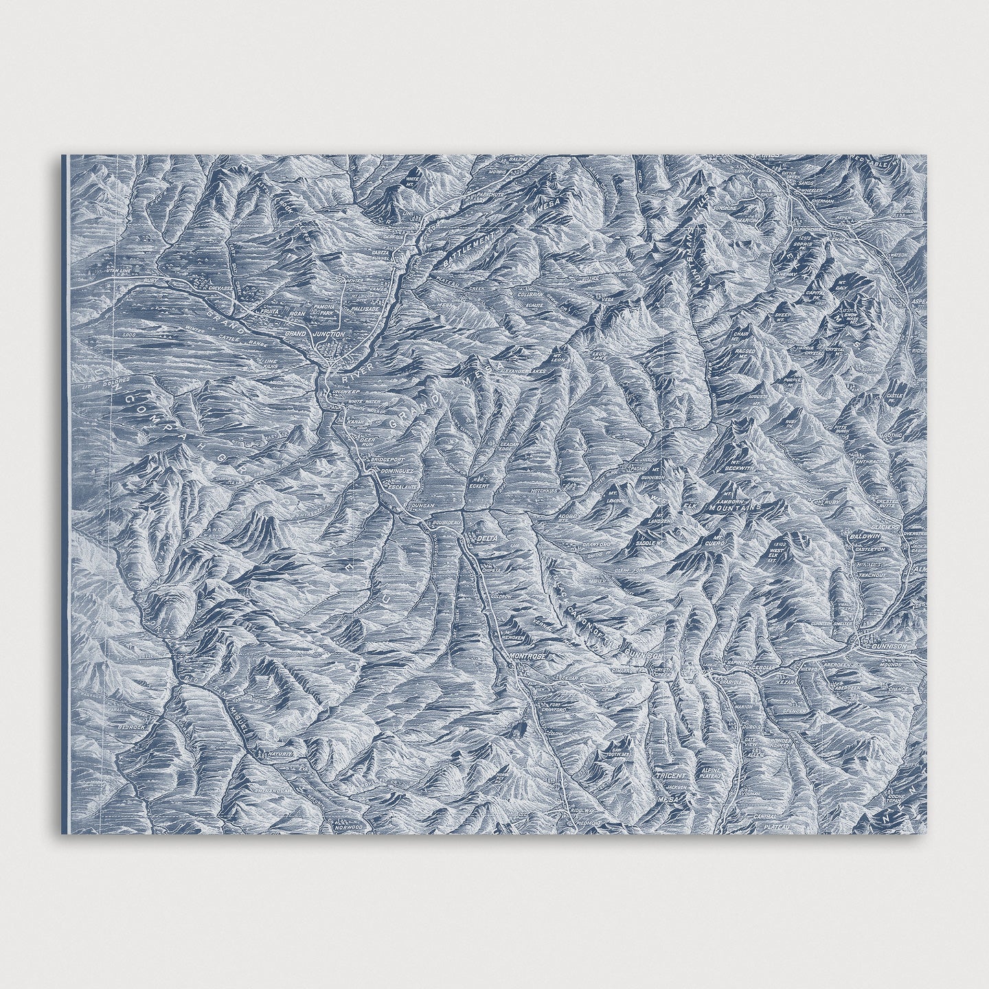
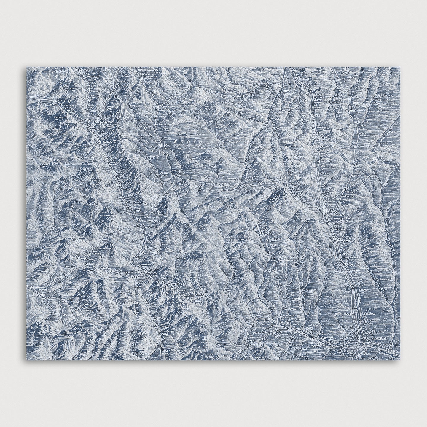
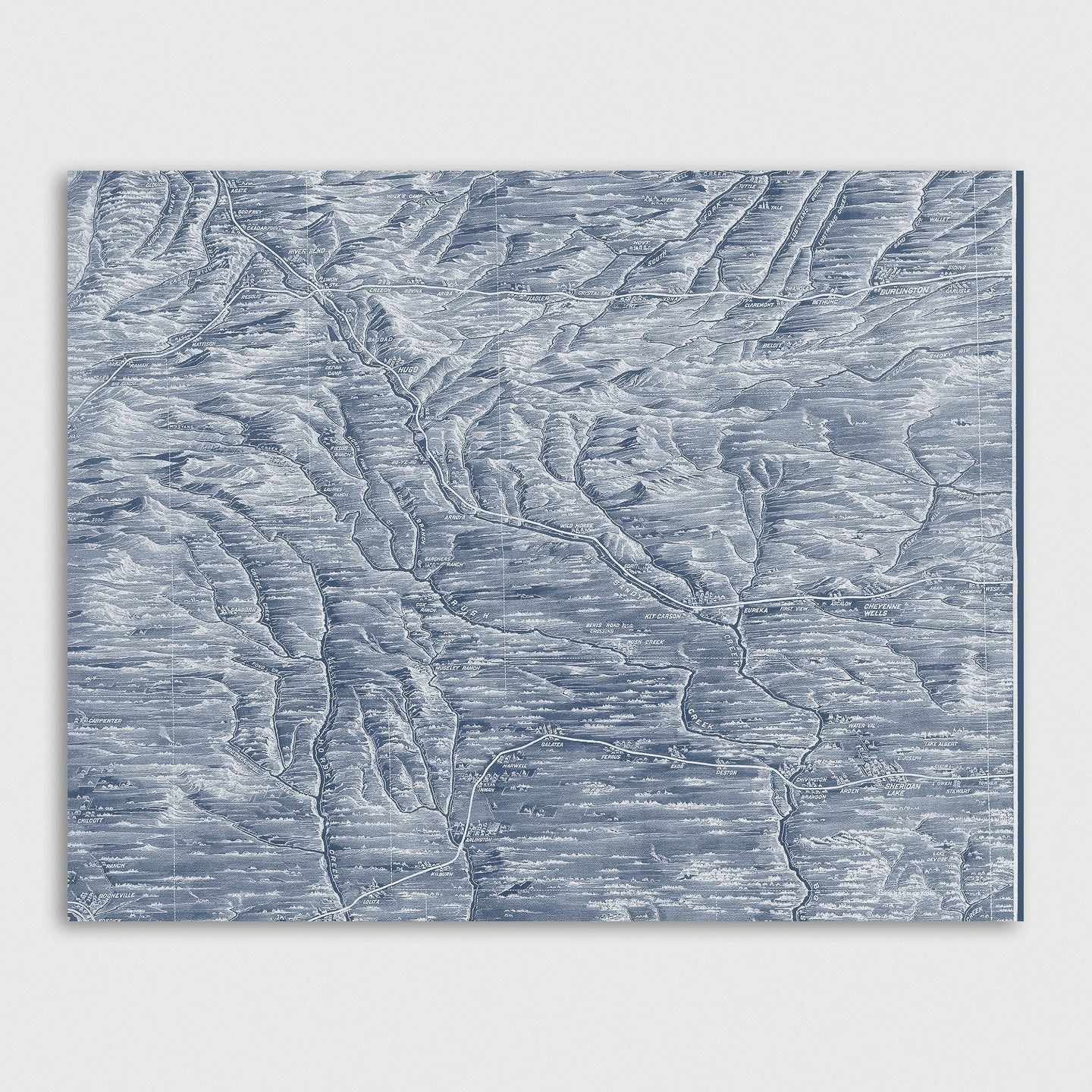
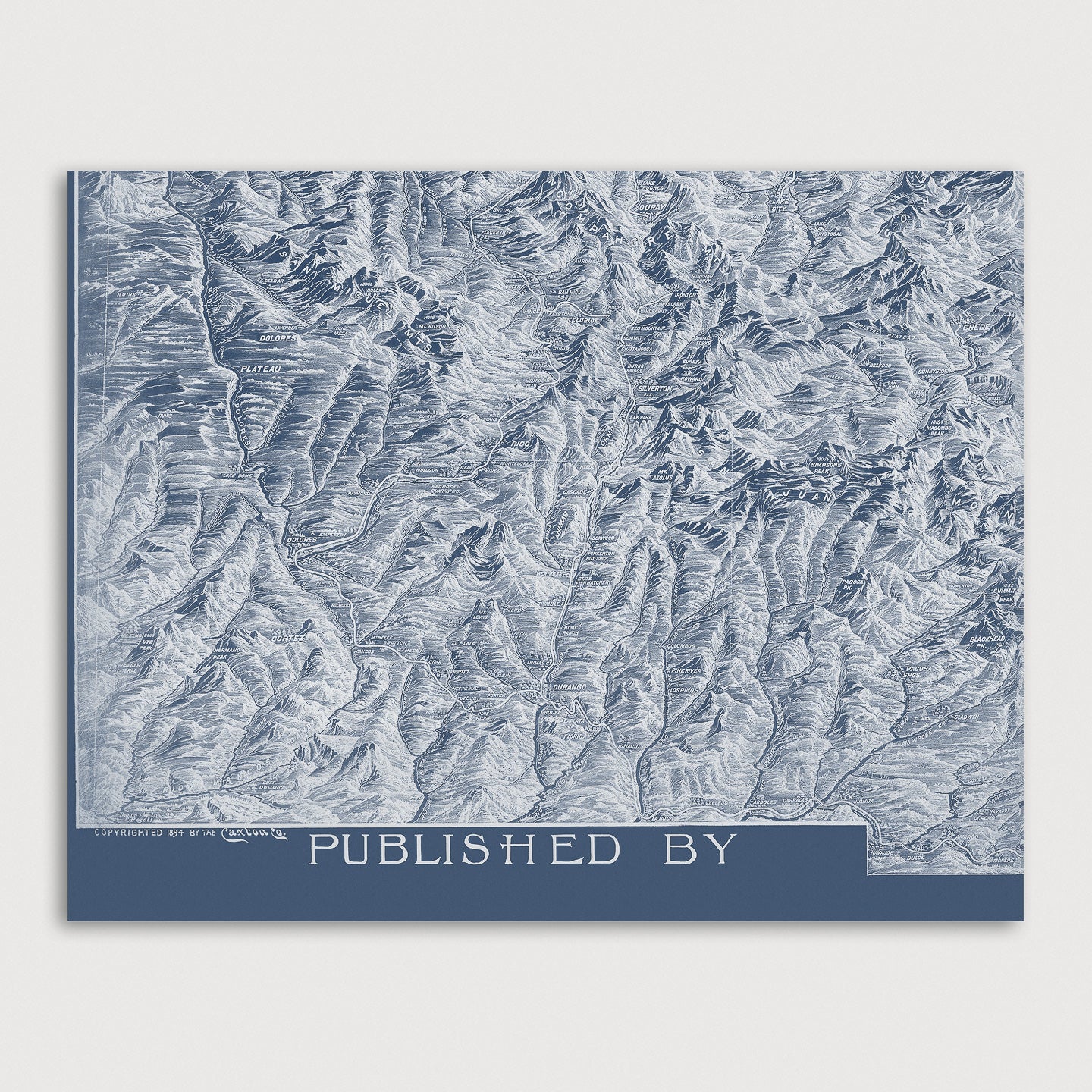
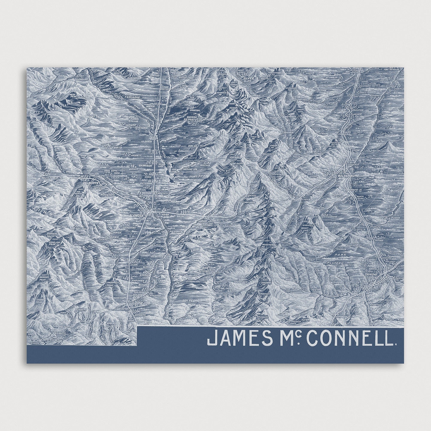
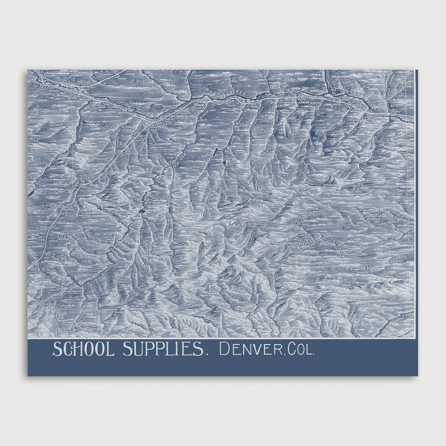
Colorado Antique Map Print Set in Blue
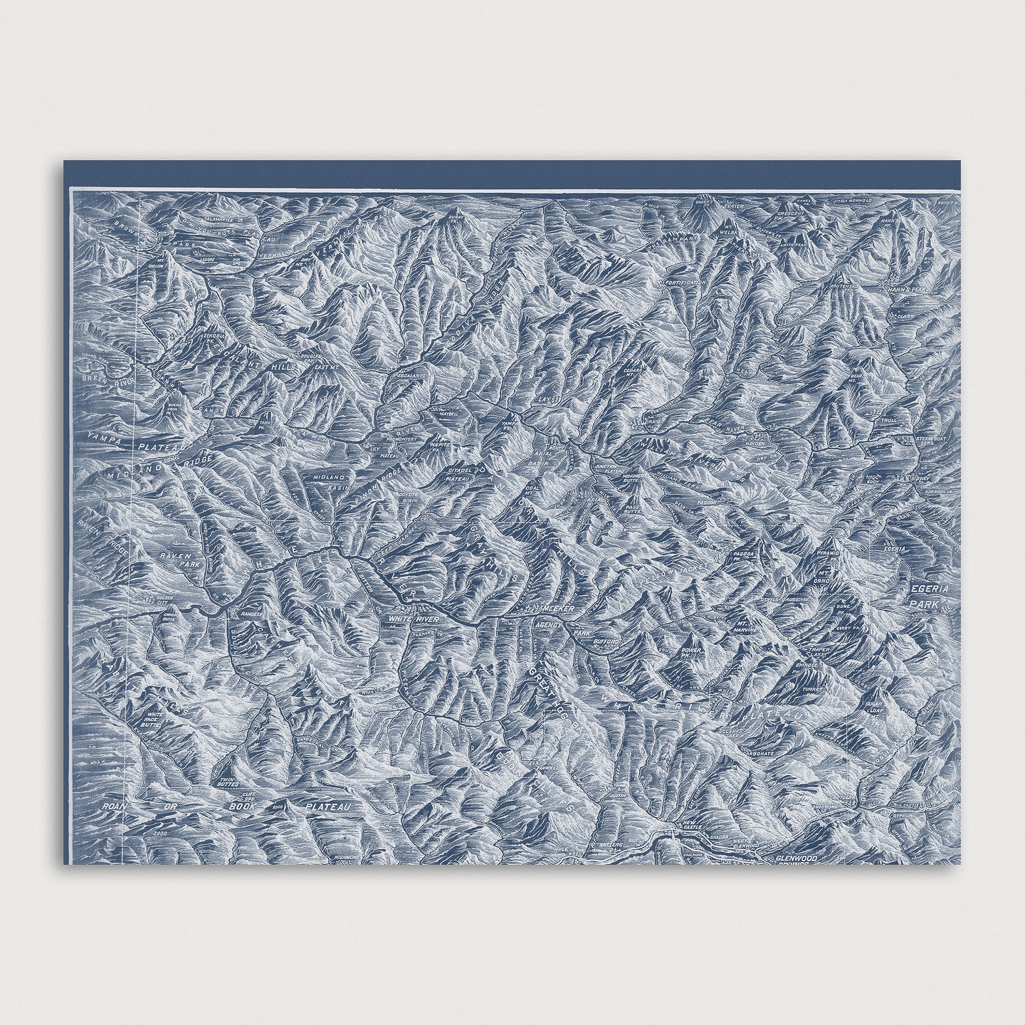
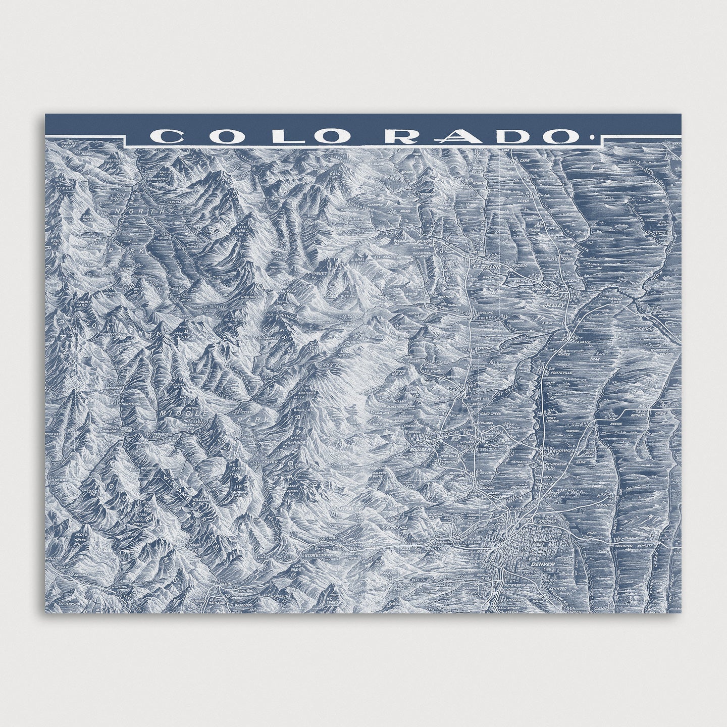
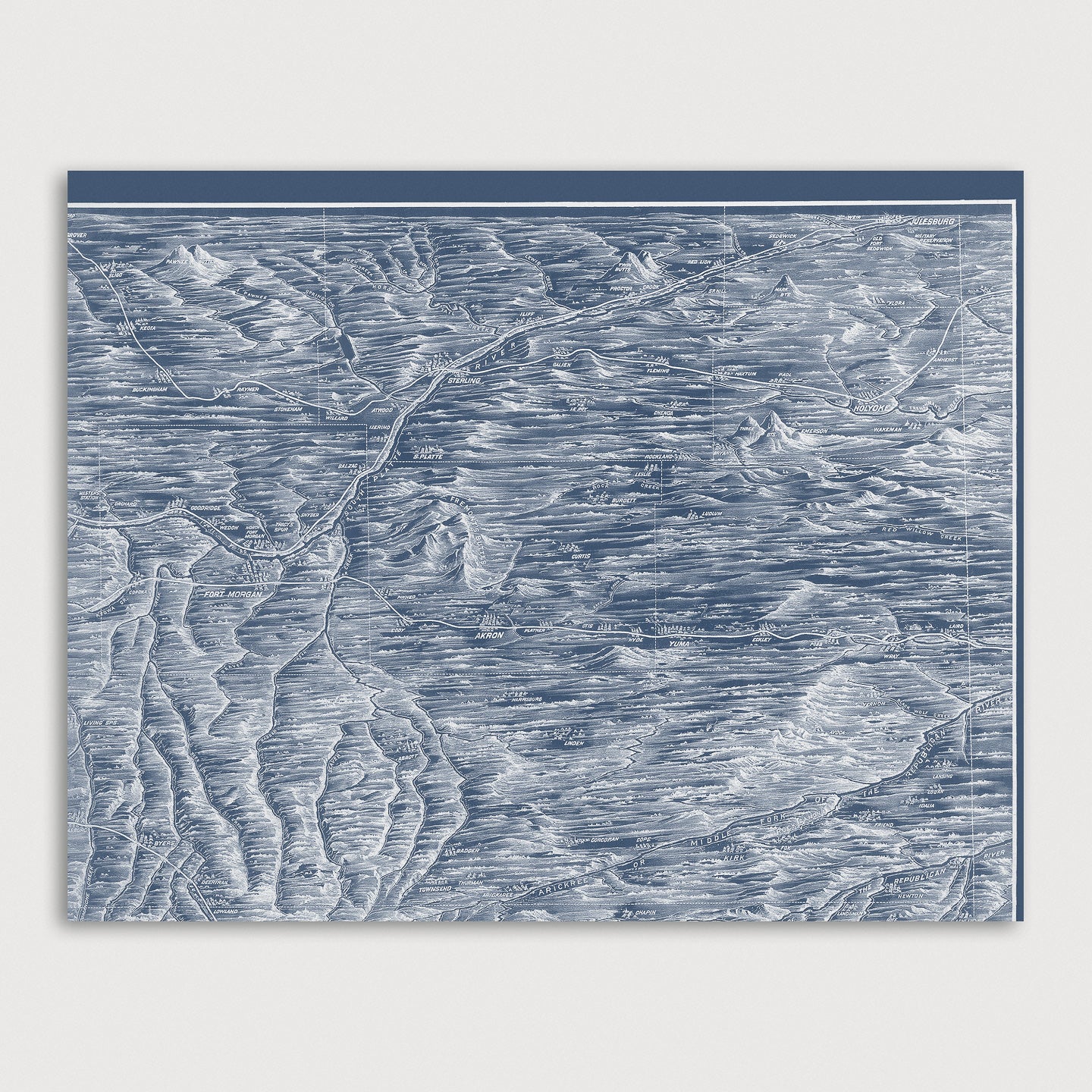
Archival art print in a blueprint style based on an antique map of Colorado from 1894 by Frank Pezolt. Originally produced as a wall map for classrooms in the 19th century, this detailed topographic map of Colorado includes numerous cities, towns, roads, rivers and peaks.
Product Details
Medium: Archival pigment inkjet print
Paper: 100% cotton, museum-quality, acid-free, heavyweight, matte finish
Size: 9 prints at 8x10 or 11x14 inches per print
Sold as a set of 9 individual prints. Each print is sized to fit perfectly in a 8x10 or 11x14 inch frame without a mat.
All prints come unframed.
Production Times & Shipping
We process and print all orders within 1–2 business days. Ground shipping is free within the US; ground shipping time is 1–5 business days. Shipping upgrades are also available. Read more about shipping.

