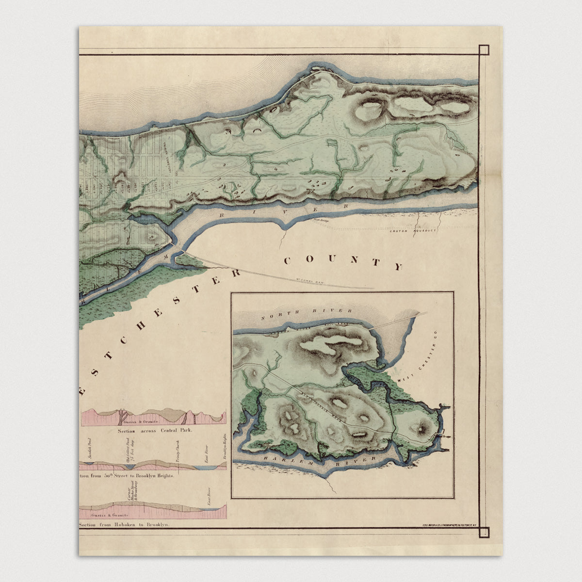
New York City Antique Map Print Set (1865)
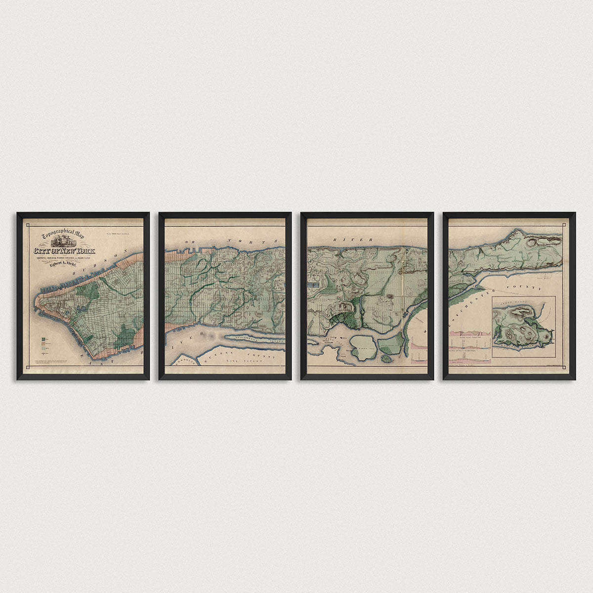
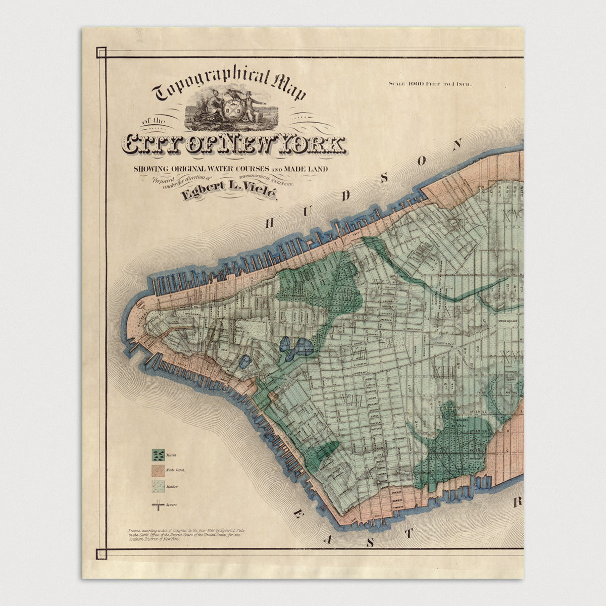
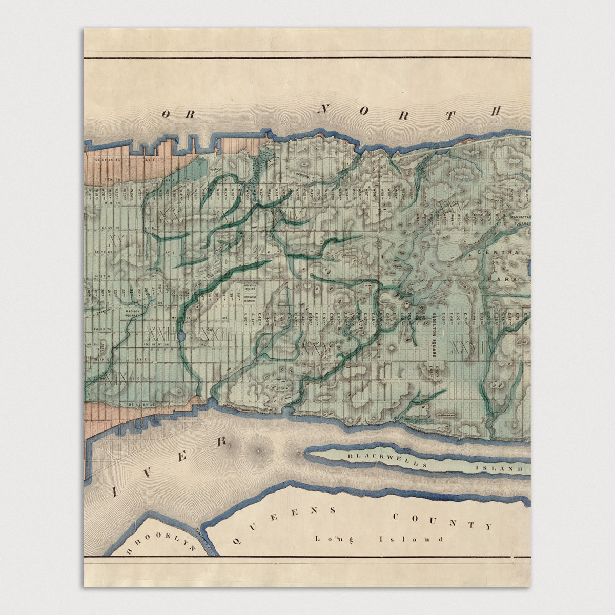
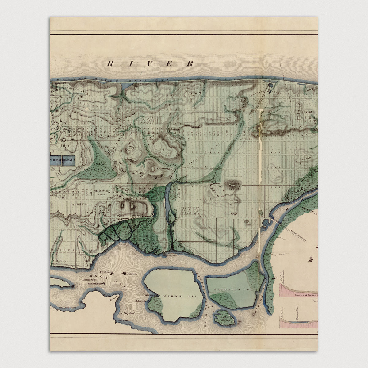
Archival print reproduction of an antique map of New York City from 1865 by Egbert L. Viele.
Mid-nineteenth century topographic map of Manhattan in New York City that shows the original terrain of the city, with hills, rivers, and waterways, overlaid on top of a grid of the streets as they appeared then. The area shaded in light orange on the southern tip of Manhattan on the left end of the map shows the land that was filled in to extend the shoreline.
Product Details
Medium: Archival pigment inkjet print
Paper: 100% cotton, museum-quality, acid-free, heavyweight, matte finish
Size: 4 prints at 11x14 or 16x20 inches per print
Sold as a set of 4 individual prints. Each print is sized to fit perfectly in a 11x14 or 16x20 inch frame without a mat.
All prints come unframed.
Production Times & Shipping
We process and print all orders within 1–2 business days. Ground shipping is free within the US; ground shipping time is 1–5 business days. Shipping upgrades are also available. Read more about shipping.

